


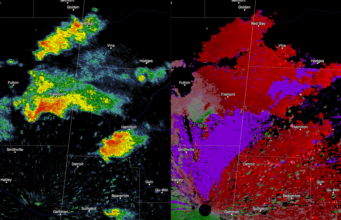
There is a low-topped cell that has developed over the past several minutes over parts of Itawamba County that has showed signs of quick strengthening and some rotation. One this radar scan, this storm was showing a 46 MPH gate-to-gate shear. This needs to bear watching as it gets closer to the state line and eventually crosses over into Marion County. It will stay north of Hamilton but is headed toward Hackleburg and Bear Creek. Nothing to get scared of at this point, just needs watching as NWS Huntsville put out in an earlier Hazardous Weather Outlook that a severe storm or two is possible this afternoon and evening in their area. We’ll keep you posted on any developments.



