


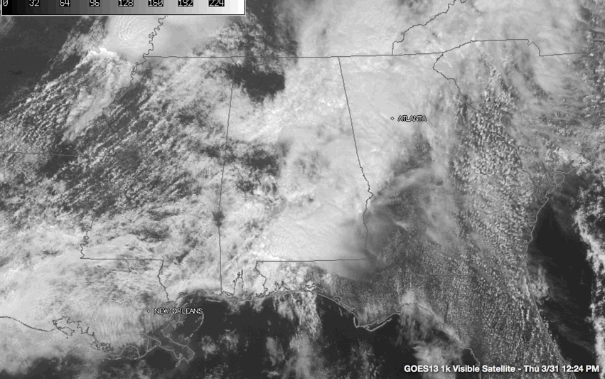
I wish that were @Spann introducing a Beatles song from his time on the radio, but it is actually some not unexpected bad news in the Weather Department. Visible satellite imagery backs up this fact, as breaks in the overcast are appearing in disconcerting numbers.
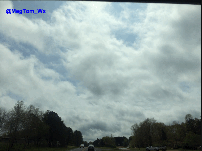
This picture is from our very own Meghan Thomas down in Pickens County.
Currently, a line of moderate and heavy rain is making its way across the state, north of the I-59 corridor. Another line is pushing to the east across the eastern and southeastern parts of the state, mainly located on the I-85 corridor. There are some pesky showers extending of of that line back through Autaugaville and Prattville in Autauga county, White Hall and Benton in Lowndes county, all the way back to Linden in Marengo county.
Temperatures were generally in the 60s across much of North and Central Alabama, with a few 50s being reported up around the Huntsville area.
Dewpoints are currently in the lower 60s south of US 78 and in the upper 50s over Northeast Alabama.
At this time, a tornado watch remains in effect until 2PM for portions of southwest Alabama, the western panhandle of Florida, and extreme southeast Mississippi. A severe thunderstorm warning was just issued for Conecuh, Covington, and Escambia counties for a storm that is making its way eastward at 35 MPH, located near I-65 about 8 miles northwest of Brewton. 60 MPH wind and half-dollar sized hail could be possible with this storm. Communities in the path of this storm are Castleberry and Brooklyn in Conecuh county, and Brewton, Riverview, Dixie, and Bradley in Escambia county. There is some rotation showing up on radar, so if you know someone in the path of this storm, please notify them to find their place of safety.



