


Showers and a couple of storms are scattered across East Central and South Alabama early this evening, extending back into Georgia.
The storms are taking advantage of higher moisture levels in these areas. Moisture levels are increasing across Alabama and Georgia and this will be the trend over the weekend.
The result will be scattered showers and storms during the peak heating of the afternoons tomorrow and Sunday.
The increased moisture will help the showers to linger into the evening tonight. And there are plenty of boundaries around to keep triggering them for a little longer. You can see those on the radar image above.
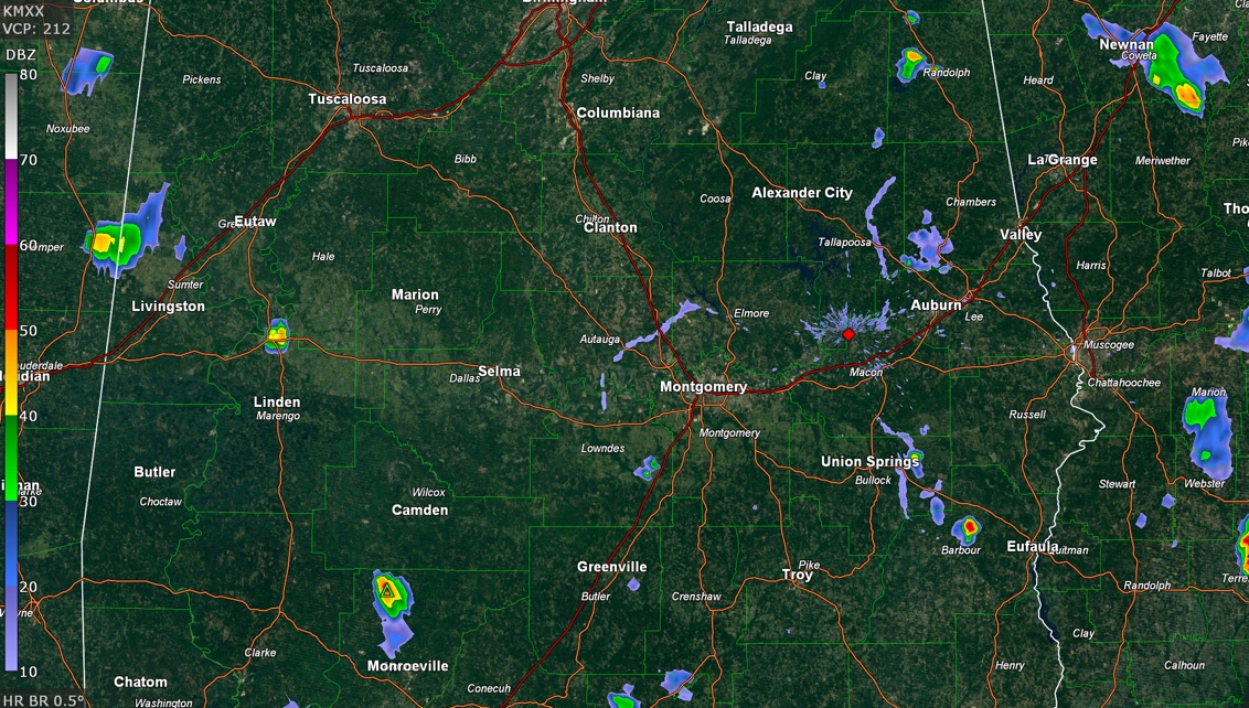
At this hour, there is a storm straddling the Alabama/Mississippi border northwest of Livingston in Sumter County, but it has weakened. And one in northern Monroe County in South Alabama.
There was a strong storm north of Opelika earlier but it has fallen apart in the low shear environment.
The storms are more numerous and a little stronger in Georgia. A severe thunderstorm warning expired a short time ago for areas around Newnan, which is southwest of Atlanta.
Some of those will work into East Alabama as well. They should go downhill after sunset.
Lows tonight will be in the upper 60s to lower 70s. Highs tomorrow will range between 90-92. There will be a few widely scattered showers and storms, but the chance of you getting any relief from the heat is very small as coverages will be less than 20% west of I-59, ranging up to around 35% over eastern areas.



