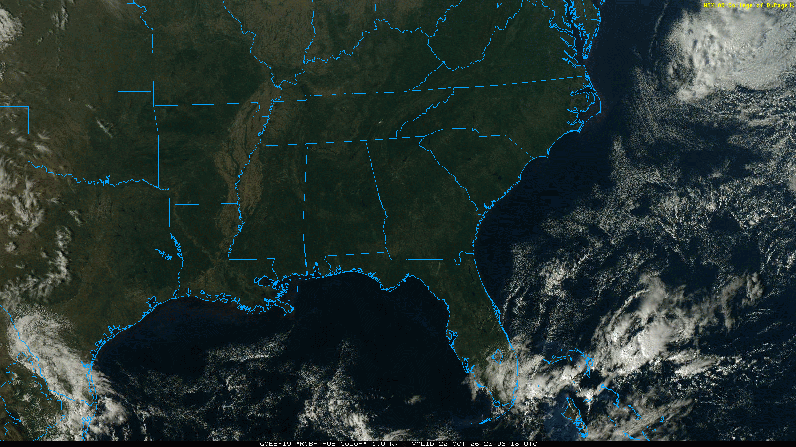
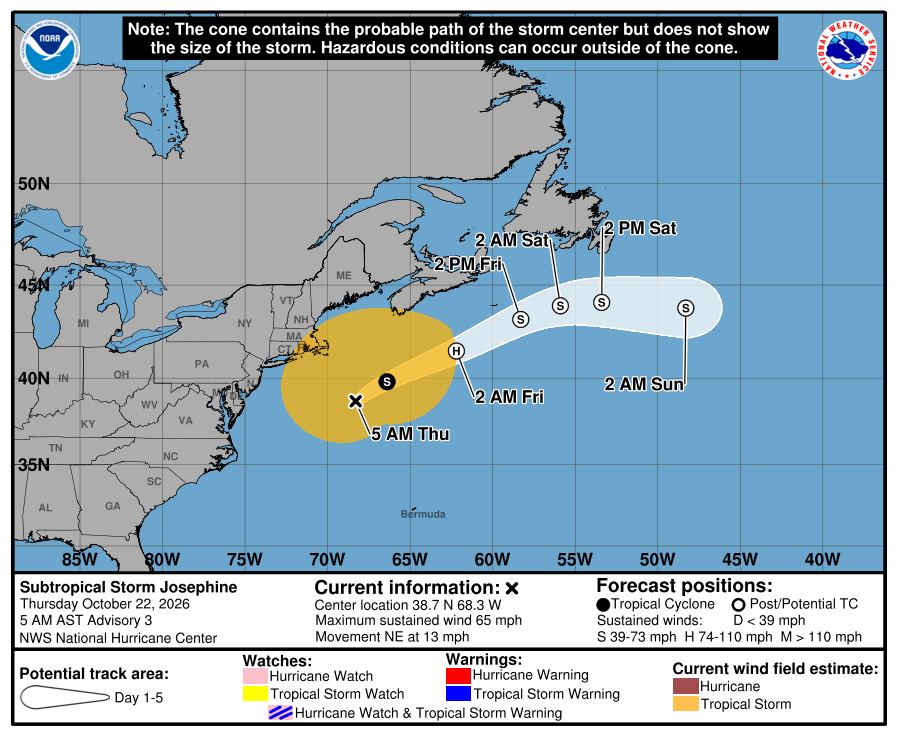
An all new edition of the ABC 33/40 Weather Xtreme video is available in the player on the right sidebar of the blog. You can subscribe to the Weather Xtreme video on iTunes by clicking here.
EARLY ARCTIC INVASION: Temperatures have been falling this afternoon across the northern half of Alabama; only 43 degrees at Cullman at 2:00… Birmingham has fallen to 48. A strong north wind of 15-25 mph is making it feel colder despite a partly sunny sky.
The north winds have just kicked in at Mobile, where they are now falling after reaching the low 70s earlier this afternoon.
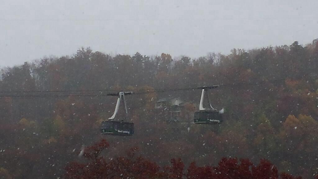
TO THE NORTH: Snow has been falling across the Great Smoky Mountains of East Tennessee; this image is from Gatlinburg from @kitmoore1
FREEZE WARNING: The winds will die down tonight, and with a clear sky we project early morning temperatures tomorrow between 23 and 29 degree for most North/Central Alabama communities. Birmingham’s record low for November 13 is 22 set in 1911; doubtful we break it, but a few colder pockets across North Alabama should visit the low 20s. Bottom line is that is rarely gets this cold in the middle of November in Alabama.
Tomorrow will be a sunny but cold day, with a high between 47 and 50 degrees. The wind will be much lighter. Then, early Thursday morning, we head back into the mid 20s… very close to the record low for November 14 of 24 set in 1986.
A warming trend begins Thursday afternoon with a high in the mid 50s… then we hit the low 60s Friday with a partly sunny sky. No rain (or precipitation of any type) Sa through Friday.
OUR WEEKEND: Moisture levels will rise, but the chance of rain Saturday for any one given spot looks pretty low. We can’t rule out a shower somewhere during the day, but I really don’t think rain will be a big issue. We continue to warm up nicely, and the high Saturday afternoon will be very close to 70 degrees.
Showers are a little more likely Sunday as moisture levels continue to increase, but the most widespread rain should stay west of Alabama. The weather will be mild Sunday with a high in the low 70s.
NEXT WEEK: Showers and thunderstorms are likely Monday afternoon and Monday night as a cold front moves into Alabama. The severe weather threat looks low with the main support and surface low well north of the state. Rain amounts of around one inch look likely; some models have suggest over two inches Monday, but that seems a little too aggressive. See the Weather Xtreme video for the maps, graphics, and details.
Cooler and drier air moves into the state Tuesday and Wednesday.
WEATHER BRAINS: Don’t forget you can listen to our weekly 90 minute netcast anytime on the web, or on iTunes. This is the show all about weather featuring many familiar voices, including our meteorologists here at ABC 33/40.
CONNECT: You can find me on all of the major social networks…
Facebook
Twitter
Google Plus
Instagram
I enjoyed seeing a big home school group today at First Baptist Church of Helena… be looking for them on the Pepsi KIDCAM today at 5:00 on ABC 33/40 News! The next Weather Xtreme video will be posted here by 7:00 a.m. tomorrow…