


…SCROLL DOWN TO TAKE PART IN THE IMPORTANT DISCUSSION ABOUT THE SEVERE WEATHER WARNING PROCESS WITH THE SECOND IN JAMES’ SERIES OF POSTS ON THE MATTER…
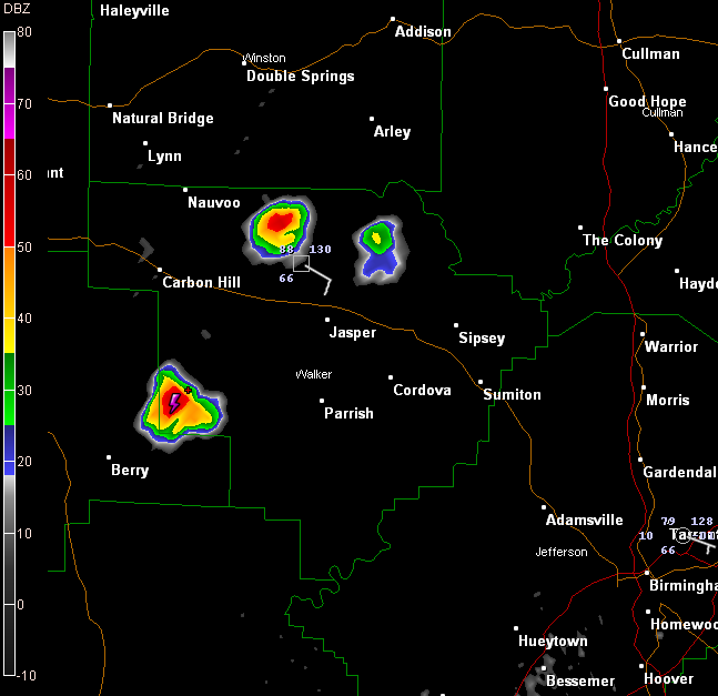
Northwest Alabama is trying to get in on the act this evening with a couple of isolated storms over Walker County.
One is northwest of the Jasper Airport. The other is west of Oakman, about to move into Fayette County.
The storms are small and isolated. They probably will rain themselves out fairly quickly, but until they do, they will produce sharp lightning and heavy rain. As they do, they will produce some gusty winds.
Looking at the big picture:
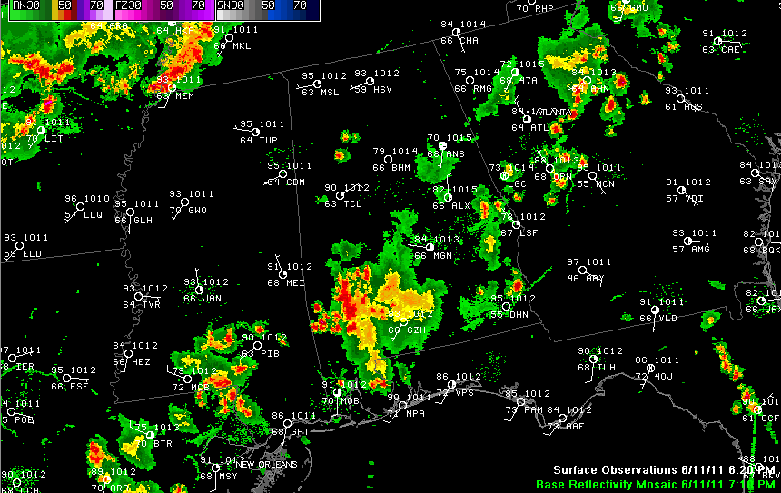
The rest of Central Alabama has calmed down. There are some storms between Alex City and Columbus GA, moving to the southwest.
Back to the northwest, we mentioned that we would have to watch storms over Arkansas. They have pushed southeast into western Tennessee where they have prompted severe thunderstorm warnings for the Memphis area.
We will be watching to see if these storms can get down into the Northwest part of Alabama later tonight. The RPM model indicates they will weaken as they do and will fall apart, only reaching the very Northwest corner of the state. We will see.
A sneak peek at tomorrow on the RPM indicates fewer storms than today, mainly centered over Northeast Alabama again.



