


Yesterday we talked a little about outflow boundaries.
They are those rushes of cool air that you feel ahead of an oncoming thunderstorm that has collapsed and it weakening. They are a prime trigger for summertime thunderstorms.
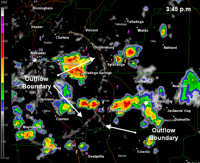
A large outflow boundary from Saturday night storms drifted into central Alabama Sunday morning and provided the focus for storm initiation Sunday afternoon across the middle of the state. Once storms started forming, it looked like an outflow boundary demolition derby, with little mini-cool fronts running to and fro across the landscape, causing storms to blow up as they passed, or even better, collided.
Look at these two radar images:
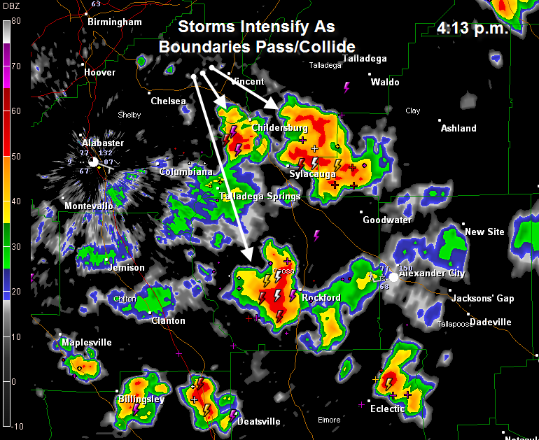
Strong storms are now affecting areas around Childersburg and Sylacauga…from southern Talladega into southern Clay County…they will be moving into northern Coosa and Tallapoosa Counties. Another large storm is approaching Rockford in southern Coosa County.
The storms have lots of lightning as well as brief heavy rain. They could produce wind gusts to 40-50 mph as well.



