


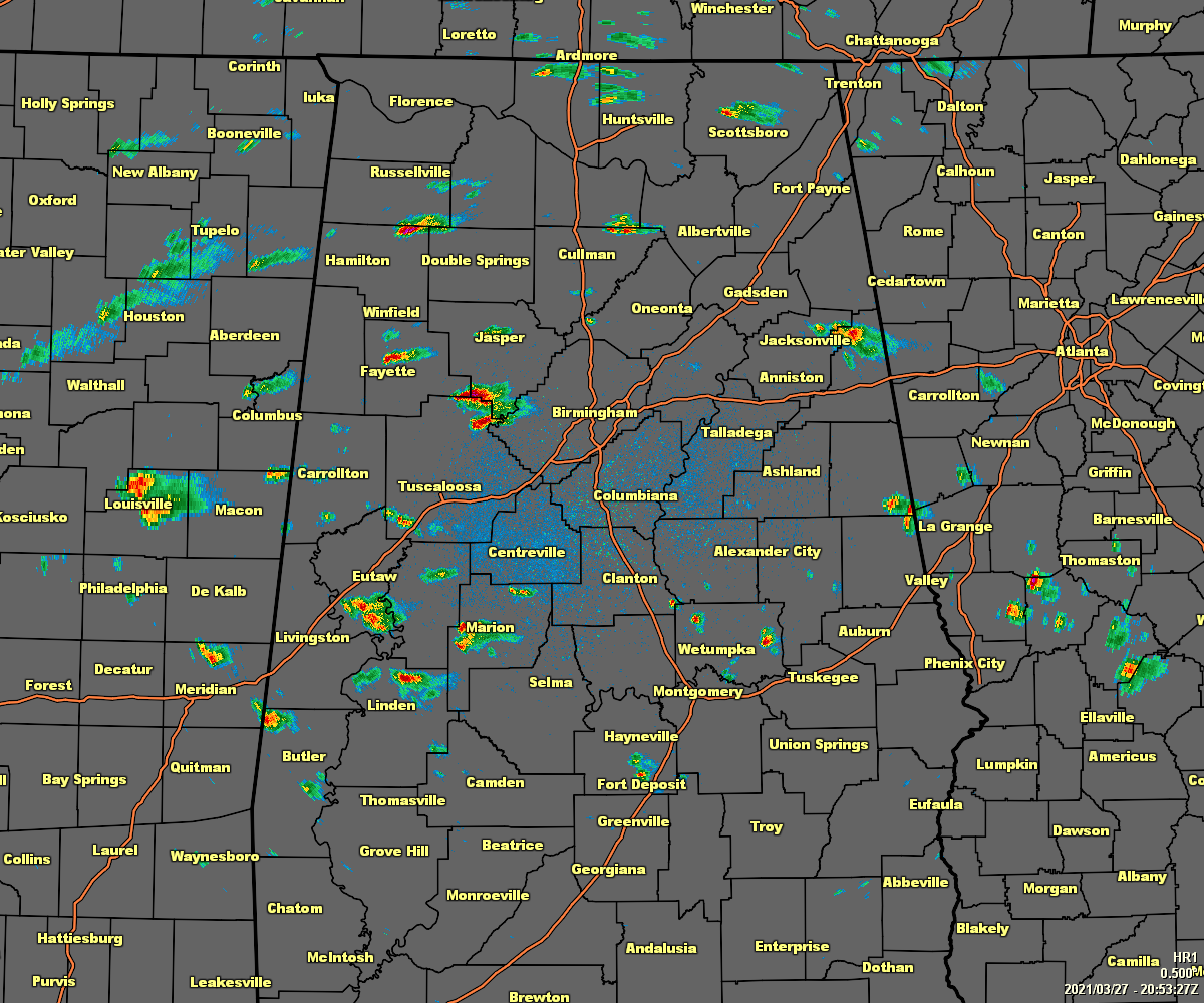
As we are crossing over into the 4:00 pm hour in North/Central Alabama and conditions are becoming marginal for the potential of strong to severe storms over the western half of the area if any developing activity is able to break through the capping inversion.
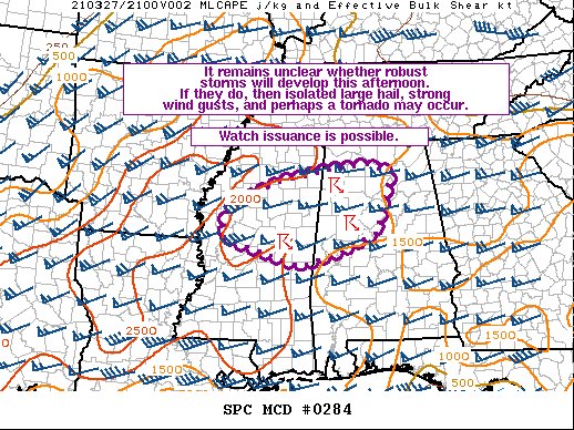
The latest Mesoscale Discussion just released from the SPC says that it is unclear whether robust storms will develop this afternoon. If they do, then isolated large hail, strong wind gusts, and perhaps a tornado may occur. At this point, the probability of a watch being issued is around 40%.
Temperatures have made it up into the 80s in some locations and dewpoints have reached the mid to upper 60s. Combine that with instability values in the 1500-2000 J/kg range and bulk shear values around 45-55 knots, the potential is there for the formation of strong to severe storms that would include all modes of severe weather. The big question is that will any of these storms actually form as there is only weak forcing caused by low-level warm advection.
So, needless to say, we’ll be watching the radar closely to see if any of these smaller isolated showers and storms can get their act together and become strong to severe.



