


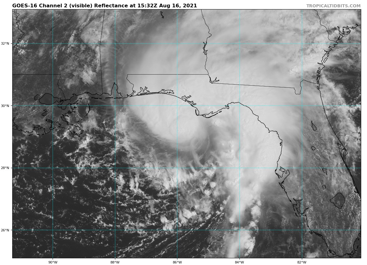
We are really starting to see some strong wind gusts along the Florida panhandle as Fred approaches from the south. Some of these wind gusts are almost up to what would equal severe thunderstorm criteria. We may see gusts reach as high as 75 mph especially around and close to the center of Fred. Here is the raw feed from NWS Chat of those wind gust reports:
1 N Biltmore Beach [Bay Co, FL] MESONET reports NON-TSTM WND GST of M56 MPH at 10:20 AM EDT — TYNDALL TOWER REPORTED A WIND GUST OF 56 MPH.
3 ENE Panacea-Wakulla A [Gmz730 Co, FL] MESONET reports NON-TSTM WND GST of M39 MPH at 11:10 AM EDT — MESONET STATION XAPA APALACHEE BAY – PANACEA CHANNEL REPORTED A WIND GUST OF 39 MPH.
Saint George Island [Franklin Co, FL] MESONET reports NON-TSTM WND GST of M41 MPH at 11:14 AM EDT — MESONET STATION XSTG ST. GEORGE ISLAND REPORTED A WIND GUST OF 41 MPH.
18 S Saint George Islan [Gmz755 Co, FL] MESONET reports NON-TSTM WND GST of M52 MPH at 11:00 AM EDT — MESONET STATION SGOF1 17 S SAINT GEORGE ISLAND REPORTED A WIND GUST OF 52 MPH.
3 SSW Eastpoint [Gmz755 Co, FL] MESONET reports NON-TSTM WND GST of M54 MPH at 11:20 AM EDT — MESONET STATION 3SSW EASTPOINT (WEATHERSTEM) REPORTS WIND GUST OF 54 MPH.
Landfall is expected to occur at or very close to Tyndall Air Force Base which is just east of Panama City, Florida, at some point during the early afternoon hours. Could Fred make a run at category 1 hurricane strength before landfall? We’ll have to wait and see. Sea surface temperatures are well warm enough for that to occur.



