


Fall starts officially at 3:44 p.m. this afternoon, and summer is bowing out gracefully with a beautiful day across the central part of Alabama. Bright blue skies, low humidities and comfortable temperatures around 80F are the rule. Look for 50s again in the morning, like last night. We could see an isolated 40F reading overnight, like in Russellville, where it was 48F this morning.
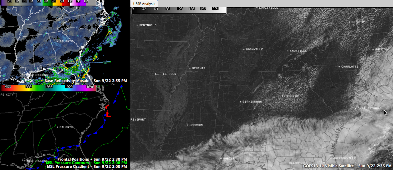
ON THE WEATHER MAPS: Our cold front bisects the Gulf coast near Destin this afternoon, with a low near Savannah. The front extends northeast along East Coast, touching land only at Cape Hatteras and Cape Cod. Showers and storms are positioned along front but those are mainly offshore now. A strong upper trough extends along the Eastern Seaboard from a big upper low over eastern Canada down to northern Florida then westward along the Gulf Coast. High pressure centered near St. Louis was the dominant feature in our weather in Alabama, but a surface low over the western Gulf of Mexico southeast of Brownsville will play a role in our weather early in the week.
Nationally, a deep trough and cold front was moving through the western states, and that has prompted the SPC to issue a slight risk over the Four Corners region of the Southwest, including places like Albuquerque and Denver. This trough will conspire with the low over the Gulf to bring us a chance of rain and storms late Monday and Tuesday. Further out west, another front was about to enter the Pacific Northwest. It will factor in our weather for the weekend.
VISIBLE SATELLITE PICTURES early this afternoon show clear skies over almost all of Alabama except the far southern counties. A few stratocumulus clouds had formed over East Central Alabama in Clay, Randolph, Coosa, Tallapoosa and Chambers Counties. But traveling west from Birmingham on I-20, you wouldn’t hit a cloud before the interstates ends in Kent, Texas, where it runs into I-10. In fact, you wouldn’t find one until you got to nearly Tucson!
LOOKING AHEAD: Tomorrow will be another perfect day with just a few cumulus clouds, a developing light southeast breeze and perfect temperatures in the lower 80s. Showers may appear tomorrow night, and rain and thunderstorms will arrive with some Gulf moisture and energy during the day and especially overnight Tuesday.



