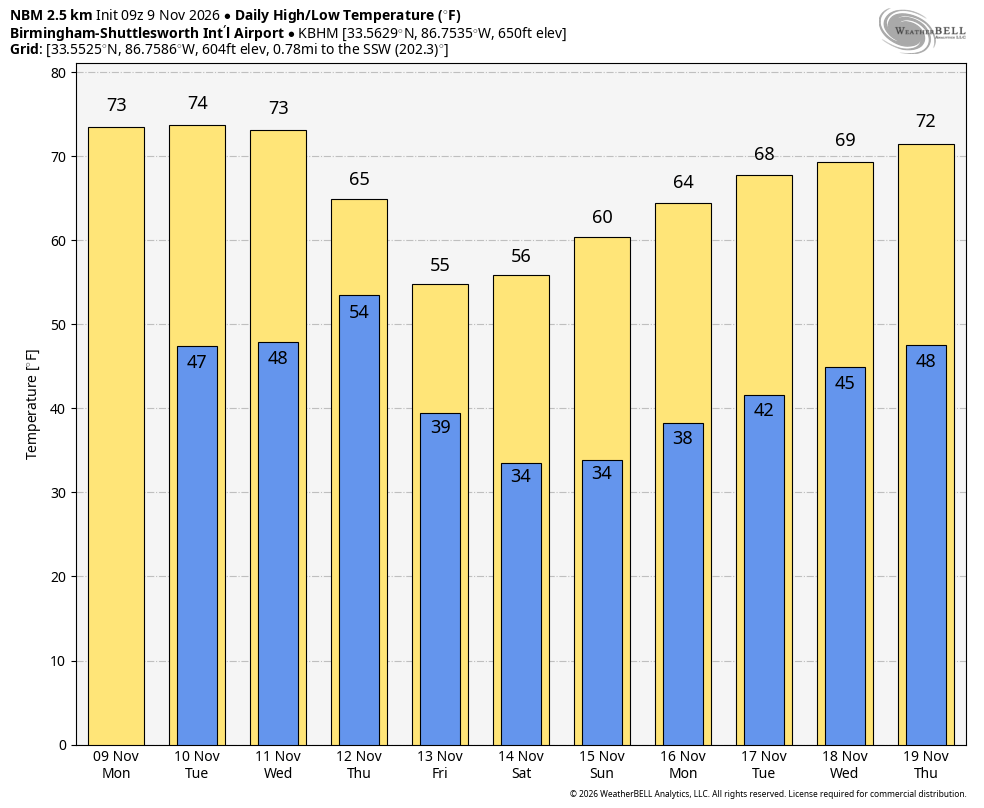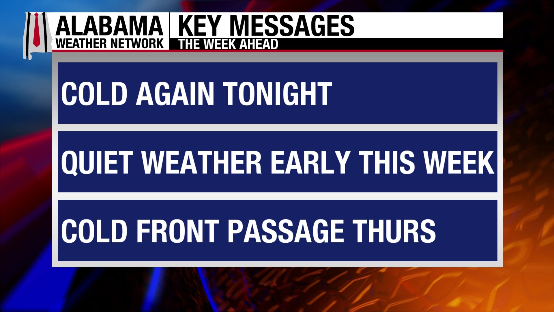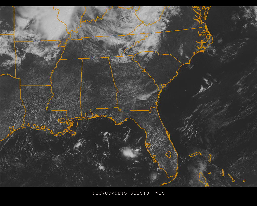
That’s right! My wife will have a better chance at knocking that one off of her bucket list than anyone receiving any rainfall today. At this hour, it is all clear on the radar, and mostly clear skies on the latest satellite image over Central Alabama. Pretty much that is the way it will stay today. With an upper ridge that is strengthening today across the state, temperatures will go up as rain chances go down. Skies will remain mostly clear to clear, and afternoon highs will be in the mid 90s today, with a few spots in the area reaching the upper 90s. Rain chances for today are not zero, but an isolated shower or storm is not out of the question. Odds for rain in any location today is 1 in 5.
With the clear skies across the area, temperatures are already racing their way into the mid to upper 80s. Here is a list of temperature observations from across the state:
Birmingham 89
Tuscaloosa 87
Gadsden 88
Anniston 89
Cullman 83
Decatur 86
Huntsville 86
Muscle Shoals 89
Alexander City 88
Montgomery 89
CODE GREEN AIR QUALITY: The Air Quality Index for the Birmingham Metropolitan Area will be in the “Code Green” for both ozone and particulate matter 2.5. No action needed today.
TODAY’S CLIMATOLOGY FOR BIRMINGHAM: The normal high for July 7th is 90, while the normal low is 69. The record high for today was set back in 1977 at 105. The record low was set back in 1972 at 54.
FRIDAY’S WEATHER: Much of the same as today, mostly clear skies with afternoon highs reaching the mid to upper 90s. The risk for any one spot getting rain tomorrow is so small that its not even worth mentioning.
HEADED TO THE BEACH: About 8 to 10 hours can be expected daily from Fort Morgan all the way over to Panama City Beach through early next week. Just the normal risk of an isolated thunderstorm each day, with highs in the upper 80s to near 90 on the coast, with low to mid 90s inland. Sea water temperatures are mostly in the mid to upper 80s. See a very detailed Gulf Coast forecast here.
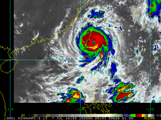
THE TROPICS: All remains quiet across the Atlantic basin, and tropical storm formation is not expected this week. However Super Typhoon Nepartak is approaching Taiwan in the western Pacific. Maximum sustained winds are at 160 MPH and movement is to the west-northwest at 9 MPH.
WEATHERBRAINS: This is the show all about weather featuring many familiar voices, including our meteorologists at ABC 33/40. This week’s show featured a discussion of the West Virginia flood event from a couple of weeks ago. You can listen anytime on the web, or on iTunes. You can find it here.
ADVERTISE WITH US: Deliver your message to a highly engaged audience by advertising on the AlabamaWX.com website. The site enjoyed 10.2 MILLION pageviews in the past 12 months. Don’t miss out! We can customize a creative, flexible and affordable package that will suit your organization’s needs. Contact Bill Murray at (205) 687-0782.