


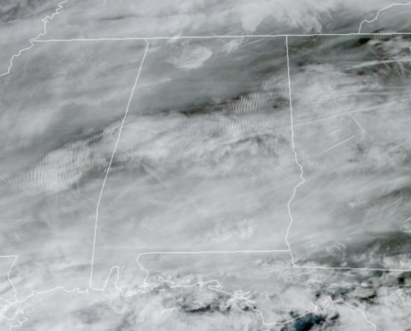
Clouds are increasing today and we will bring in a chance of rain late today and tonight ahead of a cold front. Rain and storms will develop to our northwest, but as these move into Central Alabama, limited moisture will cause a lot of this activity to dissipate and fall apart. There is no risk of severe storms and rain amounts for central portions of the state will be light, less than 1/4 inch. In fact most of the state will remain dry. Highs today remain very mild with mid to upper 60s. Tonight, behind the front, overnight lows should settle into the mid and upper 30s.
USA BRIEF: A fast moving storm will produce accumulating snow from upstate New York into portions of New England today. Widespread lake effect snow showers will be expected downwind of the Great Lakes through Saturday. Accumulating snow is also expected from the Central Plains to the Mid-Atlantic. The West will remain active into early next week with several rounds of rain and mountain snow.
THE ALABAMA WEEKEND: Any rain will end early tomorrow morning for most of the state, although lingering showers are possible during the afternoon and evening hours near the Gulf Coast. The day will be breezy and much colder with highs likely holding in the 40s all day, and a brisk north wind will make it feel colder. Sunday, we expect sunshine in full supply with highs in the low to mid 50s. Many communities will likely see a freeze early Sunday morning with widespread 20s in the forecast.
INTO NEXT WEEK: Temperatures rebound next week, with highs climbing from the 60s into the 70s by late week. The weather will be fairly quiet. We could see a few isolated showers across the northern half of the state Tuesday, but a better chance of rain looks to arrive late Thursday ahead our next cold front. No sign of any bitterly cold Arctic air or severe weather for Alabama the next 7-10 days.
BEACH FORECAST CENTER: Get the latest weather and rip current forecasts for the beaches from Fort Morgan to Panama City on our Beach Forecast Center page. There, you can select the forecast of the region that you are interested in visiting.
WORLD TEMPERATURE EXTREMES: Over the last 24 hours, the highest observation outside the U.S. was 113.7F at Paraburdoo Aero, Australia. The lowest observation was -66.5F at Verhojansk, Russia.
CONTIGUOUS TEMPERATURE EXTREMES: Over the last 24 hours, the highest observation was 84F at Miles City, FL. The lowest observation was -16F at Cut Bank, MT.



