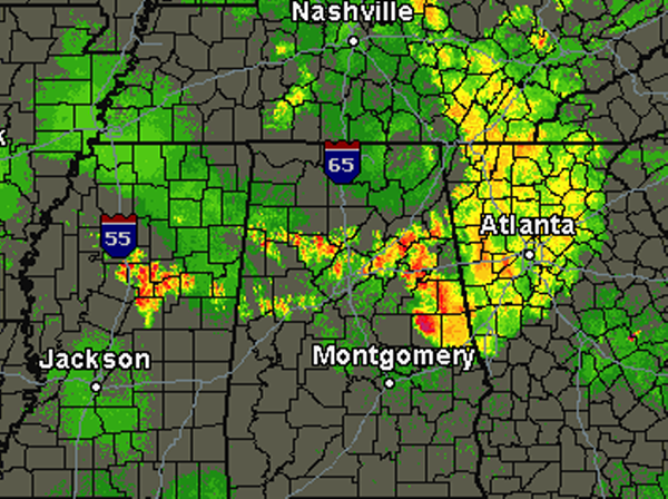
It was a busy evening across Alabama as a few tornado and severe thunderstorm warnings were issued. Over the last few hours, storms have weakened and we believe the severe threat should be over with for the night. Instability has decreased with the loss of daytime heating.
However, showers and storms continue to redevelop across Central Alabama tonight and actually stretching back into Central Mississippi. These storms are below severe limits but they are producing heavy rain, gusty winds and some rumbles of thunder. This activity is developing along a boundary across the region and should continue for the next few hours. These storms should stay below severe limits, but we will be keeping an eye on them as unexpected things can occur.
The most intense activity currently is southeast of the Birmingham Metro in Tallapoosa and Randolph Counties. These storms could be producing some small hail.