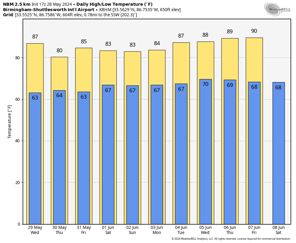
HOT MAY AFTERNOON: Temperatures are generally in the 87-92 degree range across Alabama this afternoon with a good supply of sunshine. Tonight will be mostly fair with a low in the 60s.
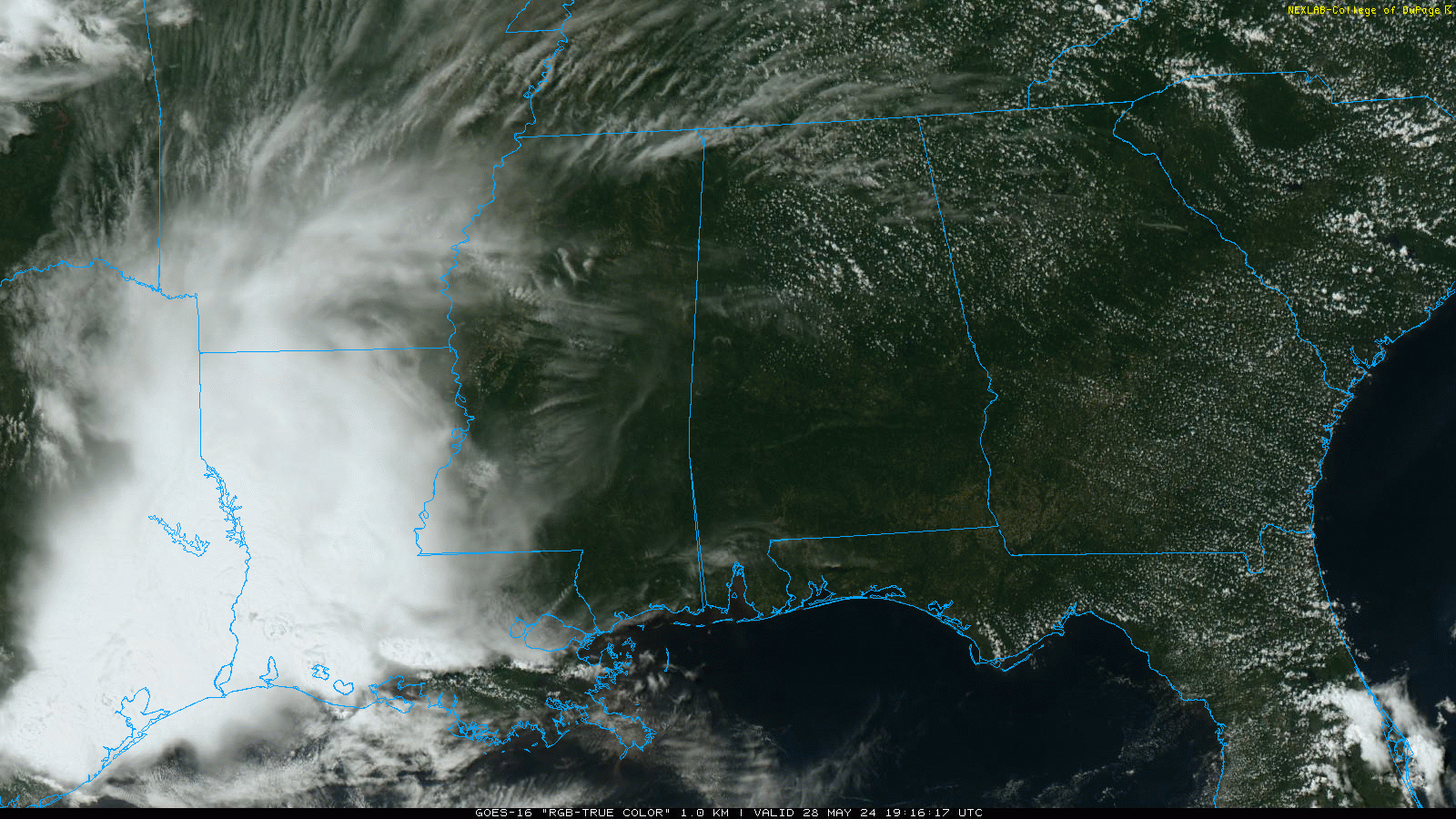
REST OF THE WEEK: While we can’t totally rule out a few isolated showers, it looks like the weather will be generally dry across Alabama tomorrow through Friday with partly sunny days and fair nights. Best chance of a shower will be over the southwest counties; highs will be in the 85-89 degree range tomorrow, followed by low to mid 80s Thursday and Friday.
THE ALABAMA WEEKEND: We will slip into the typical summer setup across the Deep South. Expect a mix of sun and clouds both days, and we will have the chance of random, scattered showers and thunderstorms, mostly during the 1:00-10:00 p.m. time frame. The chance of any one spot getting wet over the weekend is in the 40-50 percent range, and highs will be generally between 82 and 85 degrees.
The pattern won’t change through much of next week. Partly sunny days, with the usual round of “scattered, mostly afternoon and evening showers and thunderstorms” on a daily basis. Highs will be in the mid to upper 80s most days, not far from average for early June in Alabama. See the video briefing for maps, graphics, and more details.
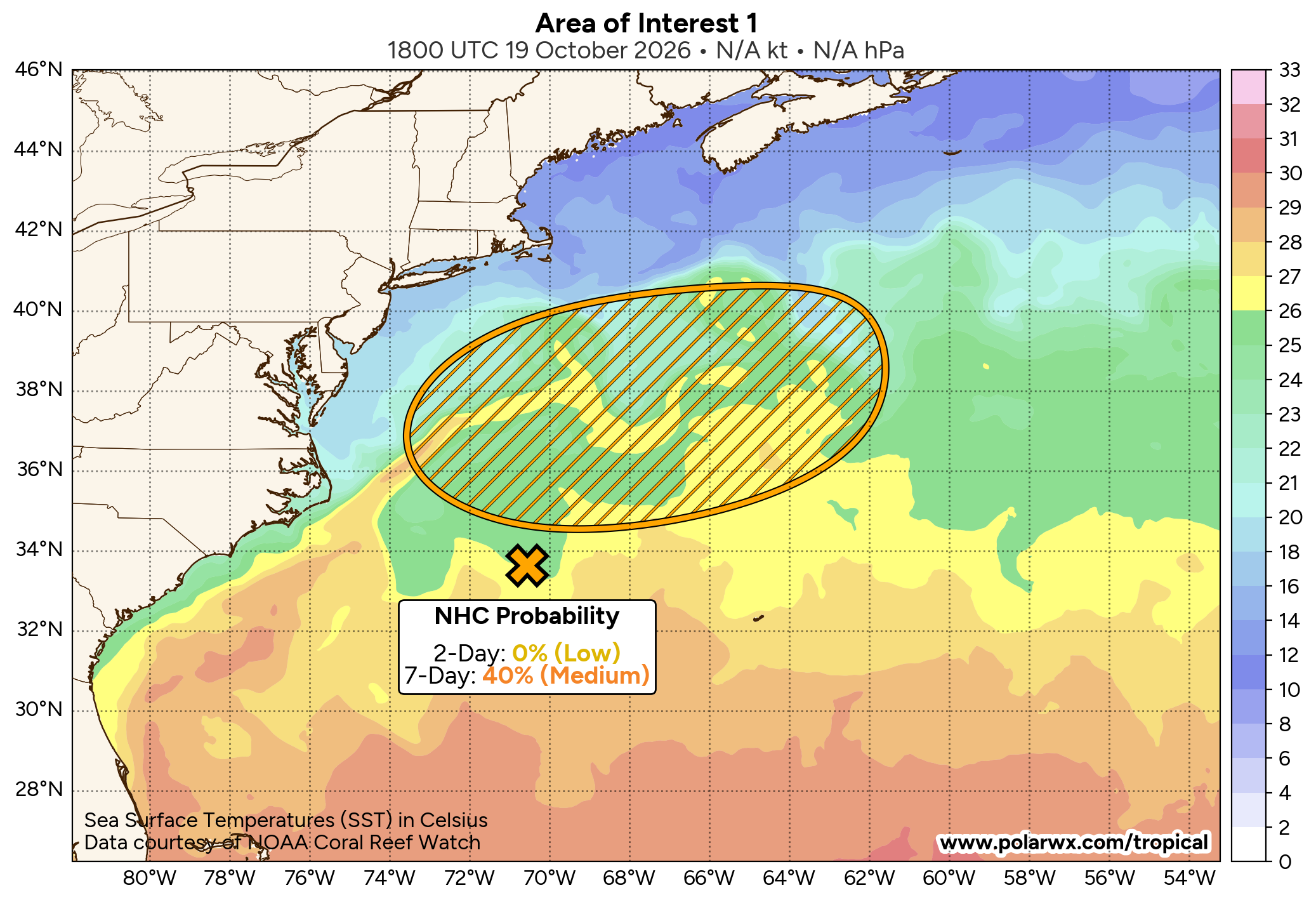
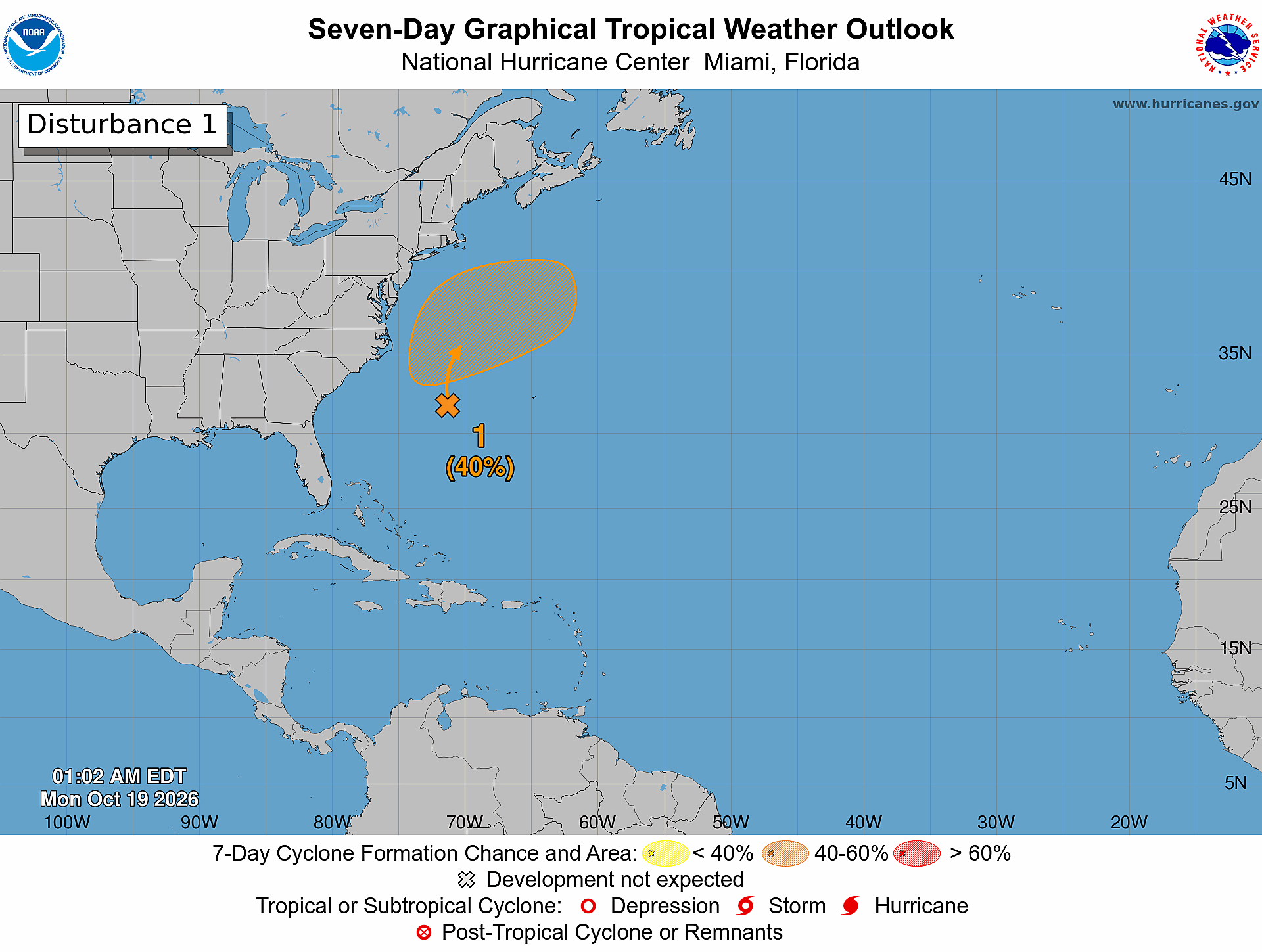
TROPICS: Hurricane season begins Saturday across the Atlantic basin. For now all is quiet and tropical storm formation is not expected for the next seven days.
ON THIS DATE IN 1962: An early season heat wave was underway across the Deep South… Birmingham’s high on May 28, 1962 was 99 degrees, which still stands as the record high for the date.
ON THIS DATE IN 1973: An F3 tornado moved east and struck the northern portion of Athens, Georgia. Destruction was massive near Athens, with losses estimated at ten million dollars. Damage from the storm included 545 homes and 17 businesses. Hundreds of large trees more than 100 years old were destroyed.
Loo for the next video briefing here by 6:00 a.m. tomorrow…