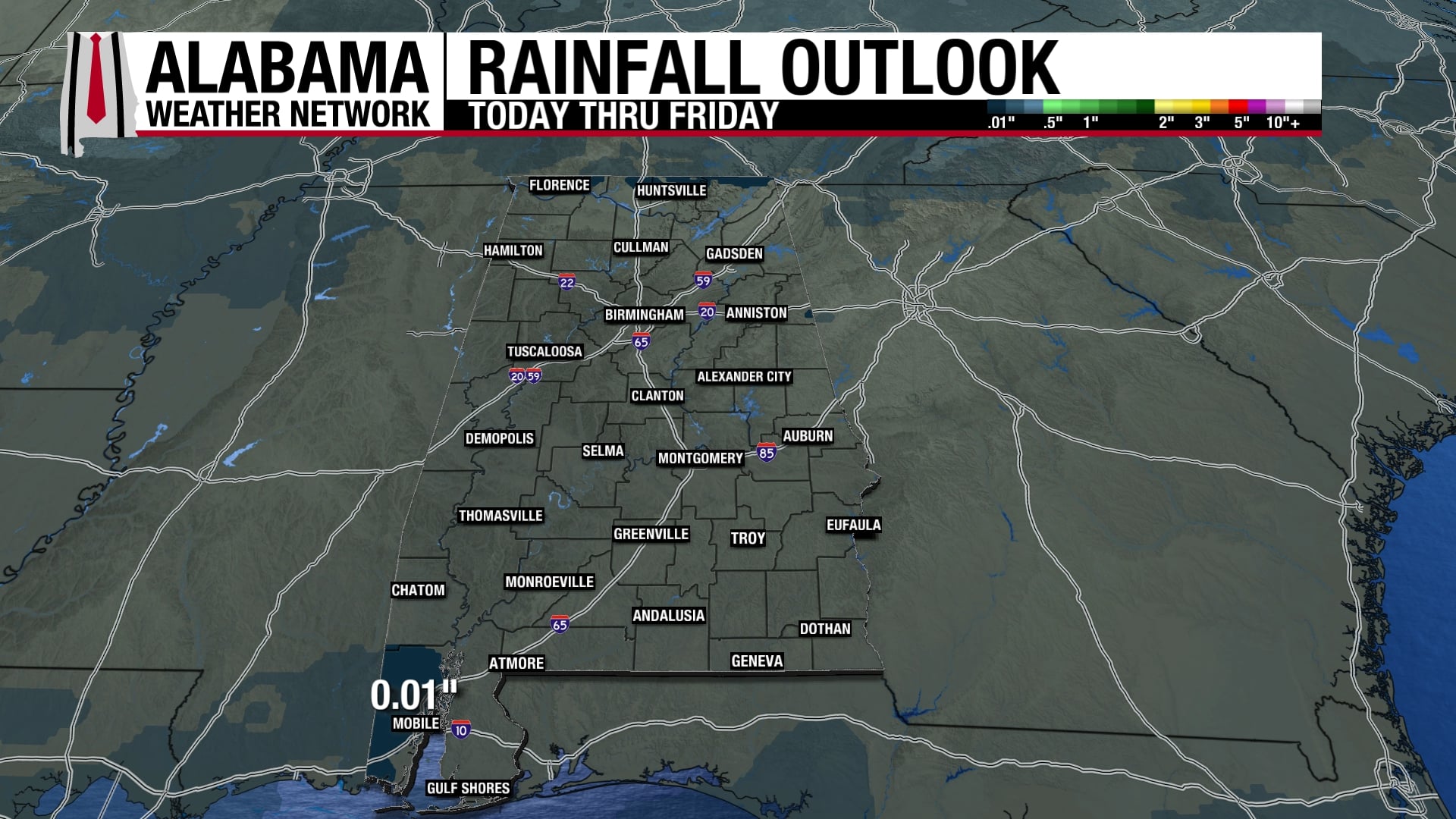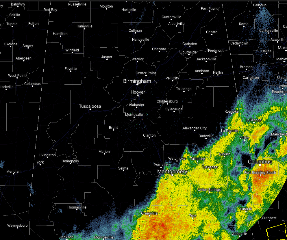
WE ARE FINALLY STARTING TO DRY OUT ACROSS CENTRAL ALABAMA: The good news is that everyone east of I-65 and north of the I-85 corridor is now free from any rainfall, which will give up a little chance to dry out before more rain returns on Saturday. Moderate to heavier rainfall continues to fall east of I-65 and south of I-85 in the southeastern corner of Central Alabama. That activity will finally move out of the area within the next few hours. All Flash Flood Watches that were in effect have been canceled, but a few Areal Flood Warnings remain in effect for a little while longer. Some breaks are already appearing in the clouds and we may see some sunshine before we reach sunset. Afternoon highs will be in the lower 60s to near 70 degrees across the area, with overnight lows in the mid-30s to the mid-50s.
RAIN CHANCES CONTINUE THROUGHOUT THE WEEKEND: While much of the northern half of Central Alabama will start off with dry conditions on Saturday, scattered showers will slowly begin to move northward during the day. Rain will become likely by Saturday evening and remain that way through all of Sunday. Saturday’s highs will be in the lower 50s to the mid-60s across the area from northwest to southeast, while Sunday’s highs will be in the mid-50s to the upper 60s.
BEACH FORECAST CENTER: Get the latest weather and rip current forecasts for the beaches from Fort Morgan to Panama City on our Beach Forecast Center page. There, you can select the forecast of the region that you are interested in.
WE’RE HAVING A RECORD-BREAKING YEAR ON THE ALABAMAWX WEATHER BLOG… ADVERTISE WITH US TODAY!: Don’t miss out! We have enjoyed over 19.6 MILLION page views on AlabamaWx.com so far in 2018. We can customize a creative, flexible and affordable package that will suit your organization’s needs. Contact Bill Murray at (205) 687-0782.
E-FORECAST: Get the Alabama Wx Weather Blog’s Seven-Day Forecast delivered directly to your inbox by email twice daily. It is the most detailed weather forecast available in Central Alabama. Subscribe here… It’s free!
CONNECT WITH THE ALABAMAWX WEATHER BLOG ON SOCIAL MEDIA: You can find the AlabamaWx Weather Blog on the major social media networks:
Facebook
Twitter
WEATHERBRAINS: Don’t forget you can listen to our weekly 90 minute netcast anytime on the web at WeatherBrains.com or on iTunes, Stitcher, or Spotify. This is the show all about weather featuring many familiar voices, including the meteorologists at ABC 33/40.
ON THIS DAY IN WEATHER HISTORY: 2005 – An outbreak of severe thunderstorms across portions of the southeast United States on the 28th produced hail, high winds, and a few tornadoes. The states of Georgia and Tennessee were the most affected.