


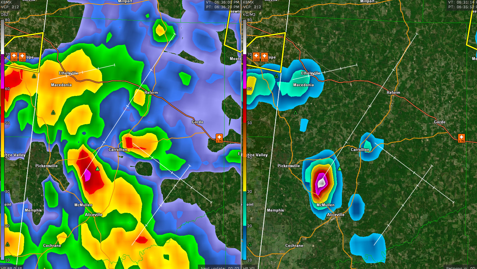
UPDATE AT 639 PM
The warning for western Pickens was canceled as the storm has weakened significantly.
Watching another storm in Pickens though southwest of Carrollton. It showing increasing signs of large hail and a new warning may be required.
ORIGINAL POST
Another severe thunderstorm warning has been posted for parts of Pickens County.
This storm is near Macedonia and will track eastward along US-82 over Macedonia and then in the direction of Reform and Gordo, as well as Carrollton.
An earlier storm just finished dropping golfball-sized hail at Gordon at 6:16 p.m.
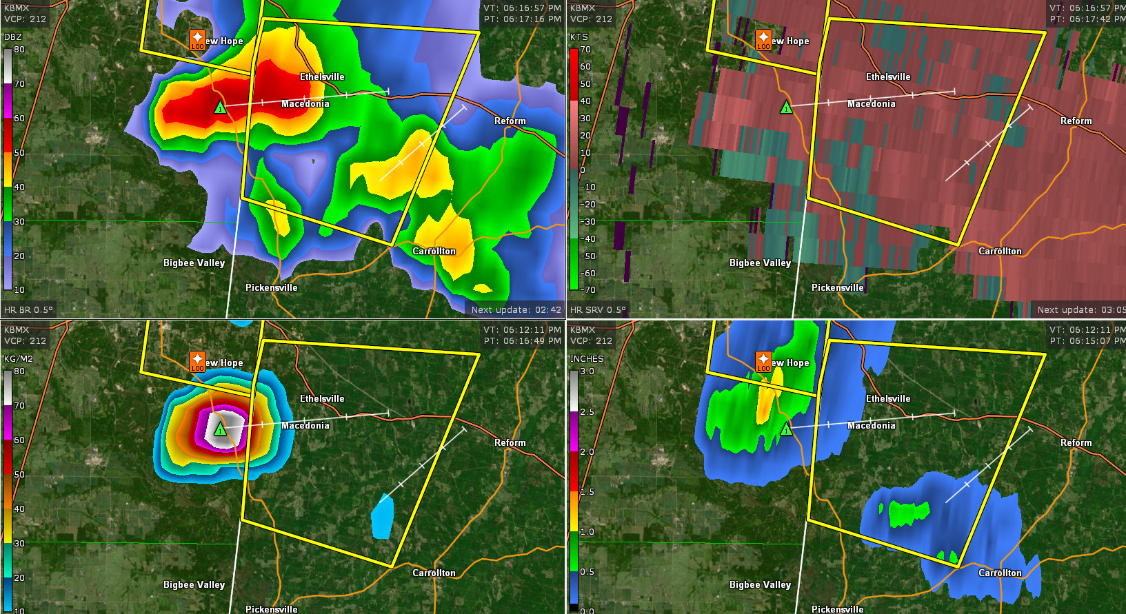
The National Weather Service in Birmingham has issued a
* Severe Thunderstorm Warning for…
Northwestern Pickens County in west central Alabama…
* Until 700 PM CDT.
* At 615 PM CDT, a severe thunderstorm was located near Ethelsville,
or 9 miles southeast of Columbus, moving east at 15 mph.
HAZARD…Golf ball size hail and 60 mph wind gusts.
SOURCE…Radar indicated.
IMPACT…People and animals outdoors will be injured. Expect hail
damage to roofs, siding, windows, and vehicles. Expect
wind damage to roofs, siding, and trees.
* Locations impacted include…
Ethelsville and McShan.



