Over North Alabama right now, radar shows a strong thunderstorm over northeastern Marion and northwestern Winston Counties between Hackleburg and Haleyville.
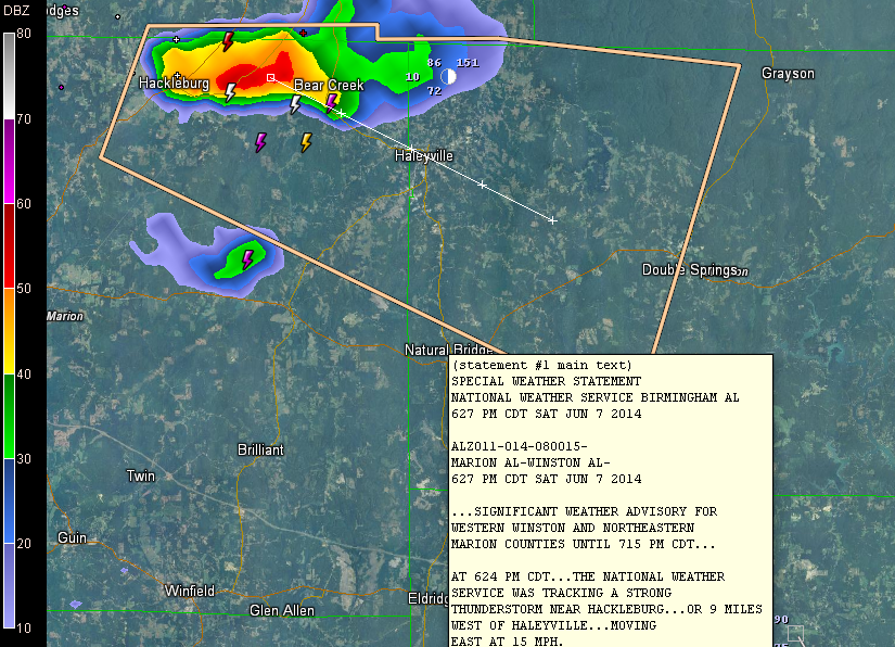
The NWS has issued a significant weather alert for this storm, shown in the polygon. That is a level below a severe thunderstorm warning.
The storm is moving east south east at 15-20 mph and could contain some small hail as well as strong wind gusts.
It also has very heavy rain and lightning.
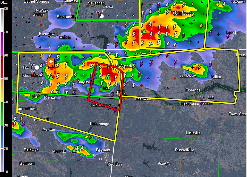
More intense thunderstorm are over northeastern Mississippi, northern Western Alabama and southern Tennessee.
Here is the radar with the warnings. That is a tornado warning for Tishomingo County, MS. And a late report: a tornado warning was just issued for Lauderdale and Colbert Counties in Northwest Alabama.
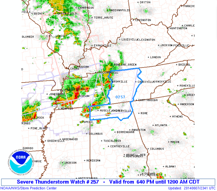
A severe thunderstorm watch has just been issued for parts of the Tennessee Valley.