


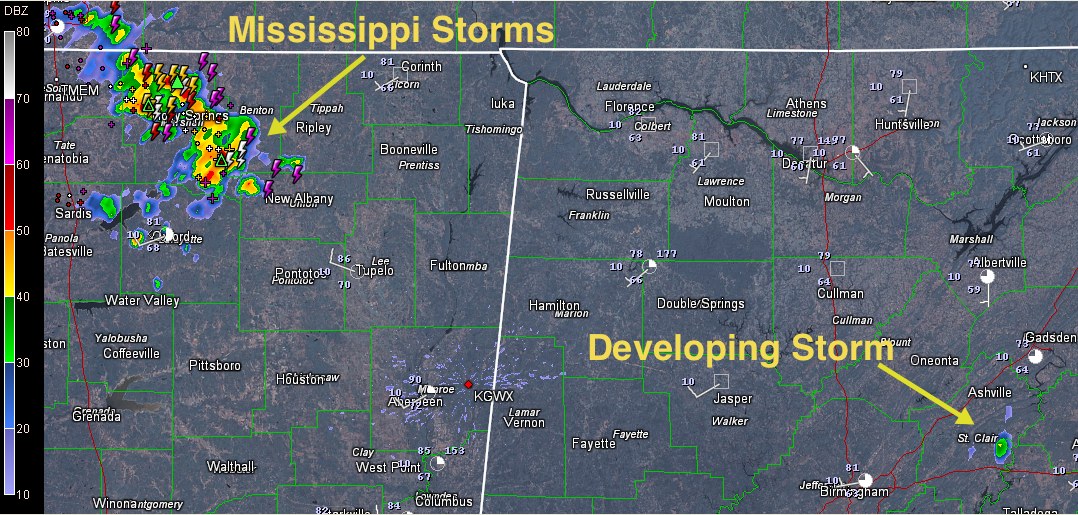
Click image to enlarge
A heavy shower has developed over East Alabama. It is north of Riverside and Logan Martin Lake, heading southeastward toward Lincoln. It is getting close to producing lightning and probably will do so soon.
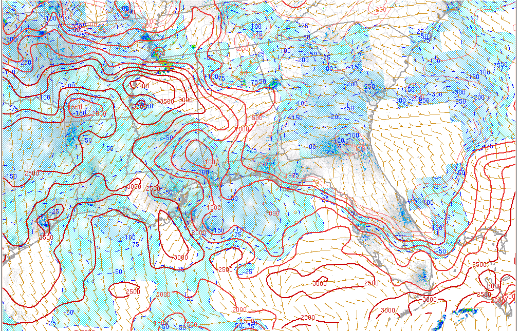
Back to the northwest, storms are already in progress over Northwest Mississippi. These storms could reach Marion County by 2 p.m., Walker County by 3 p.m. and the Birmingham Metro by 4 p.m. These storms are getting stronger and could become severe later as the airmass in their path moistens and warms, allowing instability to increase. CAPE values are already running 1,000-2,000 j/kg over West Central Alabama and will rise higher.
Keep an eye on conditions through the afternoon and overnight in case warnings are issued for your location.



