


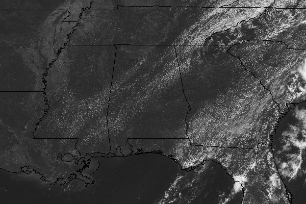
So, after stepping outside to retrieve my mail from my mailbox, I could not believe what I was feeling outside. There was plenty of sunshine and blue skies, but it didn’t feel like I could cut the air with a knife. There was also a cool breeze out of the north that was making it feel even better. Skies are mostly sunny as of the midday hour with temperatures in the mid-70s to the mid-80s across the area. Haleyville was the cool spot at 76 degrees and Troy was the warm spot at 84 degrees. Birmingham was sitting at 79 degrees. Dewpoints were in the upper 50s to the lower 60s across the area at this time. Just a reminder, the first day of summer is on June 20th.
We’ll continue to have very nice weather across the area with mostly sunny skies and a nice cool northerly breeze. Afternoon highs will top out from the lower 80s in the northwestern parts to the area to right at 90 degrees in the southeastern parts. Dewpoints will be in the upper 50s to the lower 60s. For tonight, skies will be mostly clear with nice cool temperatures. Lows will be in the upper 50s to the mid-60s.
Friday will be another day with warm temperatures but with lower humidity levels to make it feel much more comfortable. Afternoon highs will top out in the mid-80s to the lower 90s. Dewpoints will be in the mid-50s to the lower 60s.
ON THIS DAY IN WEATHER HISTORY: 1987 – South Texas endured another day of torrential rains. Up to twelve inches of rain drenched Harris County, and nearly ten inches soaked Luce Bayou, mainly during the afternoon hours. Thunderstorm rains left seven feet of water over Highway 189 in northern Val Verde County. Flooding caused nine million dollars in damage in Real County. A thunderstorm at Perryton, TX, produced golf ball size hail and 70 mph winds and spawned a tornado that struck a mobile killing one person and injuring the other four occupants.



