


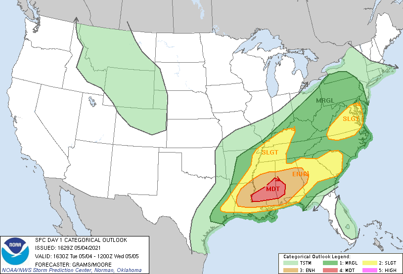
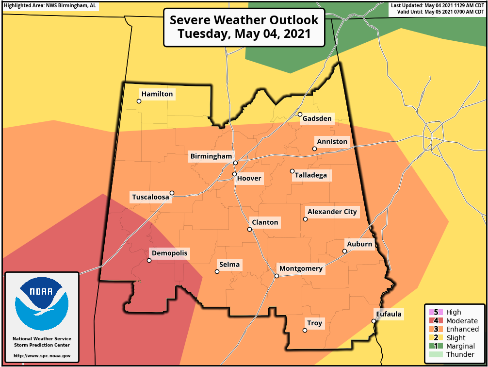
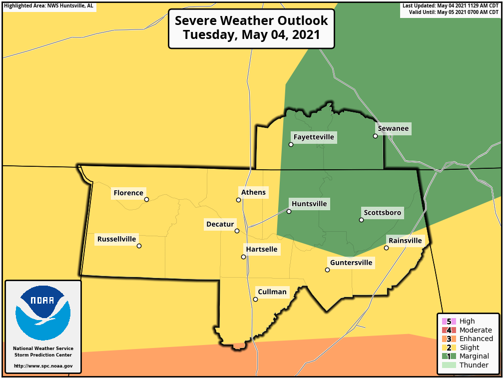
THERE IS A MODERATE RISK OF SEVERE THUNDERSTORMS CENTRAL/SOUTHERN MS TO WEST-CENTRAL/SOUTHWEST AL
SUMMARY… Numerous to widespread damaging winds and a few tornadoes are expected through this evening across the Deep South.
TX to the Southeast… Complex forecast this afternoon into the evening with several clusters of ongoing convection from southeast TX to the southern Appalachians. A moist and moderate to strongly unstable air mass exists across a broad region ahead of this activity. As noted in 12Z regional observed soundings, this is where an elevated mixed layer/plume of steep mid-level lapse rates is established atop rich boundary layer moisture with surface dew points in the low 70s that precedes an eastward-moving cold front located near the ArkLaTex and southeast Texas.
Influenced by the progressive southern stream shortwave trough, storms should expand in coverage/intensity this afternoon with a corresponding uptick in wind damage potential expected aside from a persistent severe hail risk. Strengthening belt of southwesterly low/mid-tropospheric winds will support organized storms including growth into multiple quasi-linear MCSs. Widespread damaging winds, some significant, and brief tornadoes will be possible with the primary QLCS that is expected to evolve across the Lower MS Valley into AL.



