


Rain is ending from west to east across Alabama this afternoon. The cold front, which marks the end of the precipitation has now reached Huntsville, Jasper, Tuscaloosa, and Demopolis.
Most of the rain is now east of I-65, with only a few scattered patches of light rain across parts of Greene, Tuscaloosa, Walker, Perry and Jefferson Counties.
Clouds are still thick across the entire state.
Temperatures across the state at this hour range from 52F at Huntsville to 58F at Birmingham to 61F at Montgomery to 67F at Evergreen.
Lows tonight will drop into the 30s north of I-20 with lower 40s to the south of that corridor.
Tomorrow will be mild with a good supply of sunshine. Highs will be in the upper 50s to near 60F.
A second cold front will arrive late on Monday, bringing a reinforcing shot of colder air. Lows Monday night will be below freezing across the entire area, with some middle 20s in the normally colder locations.
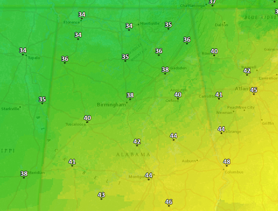
Expected Monday night lows
Tuesday highs will stay stuck in the 40s. Some spots in Northeast Alabama won’t get out of the 30s.



