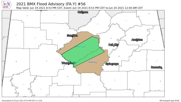
At 8 o’clock tonight, most of the rain across Alabama was over the East and Central sections, generally east of the Huntsville-Birmingham-Selma line. However, there was a line of light showers entering NW Alabama.
Since it has been dry for so long, we will look at a long list of rainfall in Alabama so far today.
0.49 at Clay and Ashville
0.78 at Riverchase at the 33/40 weather office
0.56 in Helena
0.26 at the Inverness SkyCam
0.84 at the Downtown Birmingham SkyCam
0.29 at Gadsden
0.20 at the Mt. Cheaha Skycam
1.00 in West Hueytown
0.88 in Hueytown/Virginia Mines
1.03 at Bald Rock, near Cook Springs, South St. Clair County
0.84 at Blount Springs
0.75 at Childersburg
0.56 at Fort Payne Airport
0.63 at Oneonta
0.93 at Pell City
0.76 at Sylacauga
0.40 at Steele, in Extreme North St. Clair County
0.98 in Trafford
0.70 in Vincent
0.30 at Ohatchee, Neely Henry Dam
0.37 at Holt, near the east edge of Tuscaloosa
0.98 at Trafford
0.47 in DeSoto State Park
0.39 at Fort Payne Airport
0.10 at Cullman Airport
0.14 at Huntsville
0.03 at Muscle Shoals
0.77 at Anniston Airport
0.34 at Auburn
0.74 at Birmingham Airport
0.51 at Shelby County Airport (NWS)
0.43 at Dothan
0.70 in Pinson
1.10 in Morris, in North Jefferson County
0.01 at Glen Mary, in NW Alabama (one of the smallest amounts)
0.96 at Crumly Chapel
0.04 at Reform
You can tell by this list that rain was very sparse over much of West and NW Alabama.i