


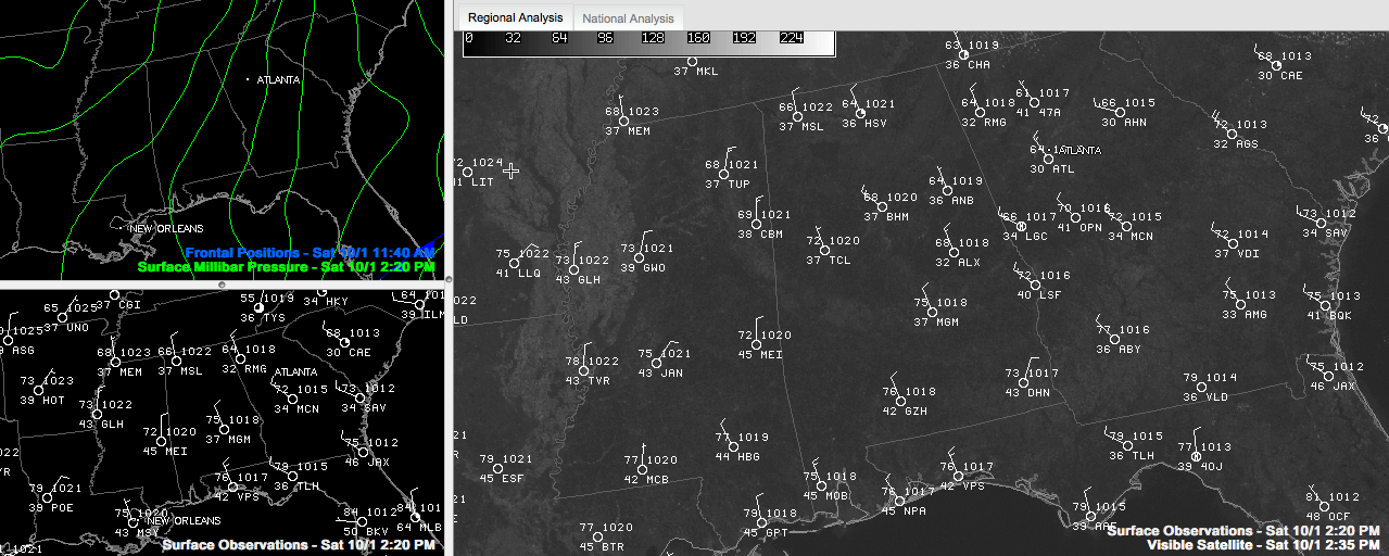
Click to enlarge
Early morning infrared and lunchtime visible satellite imagery is notable for the lack of clouds over Alabama. In fact, the infrared imagery clearly showed the cooler air, punctuated by blacker dots, where the warmer bodies of water of our lakes and rivers showed up.
There are some clouds over eastern Tennessee, rotating around the big upper low that is centered over West Virginia. Those clouds should stay to our northeast.
There are clouds along the Indiana/Illinois border. Those could work their way south into our area, but they will be scattered at best across the area tomorrow.
Temperatures were warming nicely in the dry air, despite a cool northerly breeze. Ron Hughes reported that it was gusting to 21mph in Coker at times. Winds were gusting to over 25 mph at BHM over aroun lunchtime. In the temperature department, most spots will top out between 7-72F this afternoon.
Tomorrow will look a lot like today with highs around 70F generally.
SCATTERED LIGHT FROST TONIGHT? SUNDAY NIGHT? As winds diminish tonight and ideal radiational cooling conditions set up, the mercury will fall generally into the lower 40s. Some spots, particularly in protected valleys, will make the upper 30s or even a little colder. This will result in some scattered light frost. Expect the same thing tomorrow night.



