


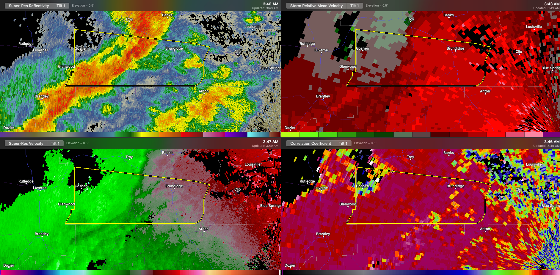
The NWS in Birmingham is keeping a close eye on the storm that is near Troy early this morning.
It has taken on a comma head appearance indicating it might be becoming an MCV, or mesoscale convective vortex. This could enhance the possibility of a brief spin-up tornado or two.
It also could be just taking on a bow echo configuration, meaning an enhanced chance of damaging wind gusts. But the wind profile on Doppler radar seems to have diminished a bit in the past few minutes.
Folks from Troy to Banks through the polygon down to the county line of Pike county need to be in a safe place as this dangerous storm passes.



