The National Weather Service in Birmingham has issued a
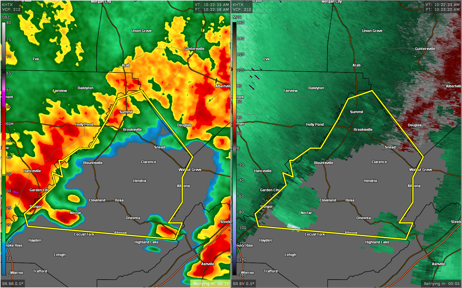
* Severe Thunderstorm Warning for…
Blount County in central Alabama…
* Until 1100 AM CDT.
* At 1026 AM CDT, a severe thunderstorm was located near Nectar, or 7
miles west of Cleveland, moving east at 55 mph.
HAZARD…60 mph wind gusts.
SOURCE…Radar indicated.
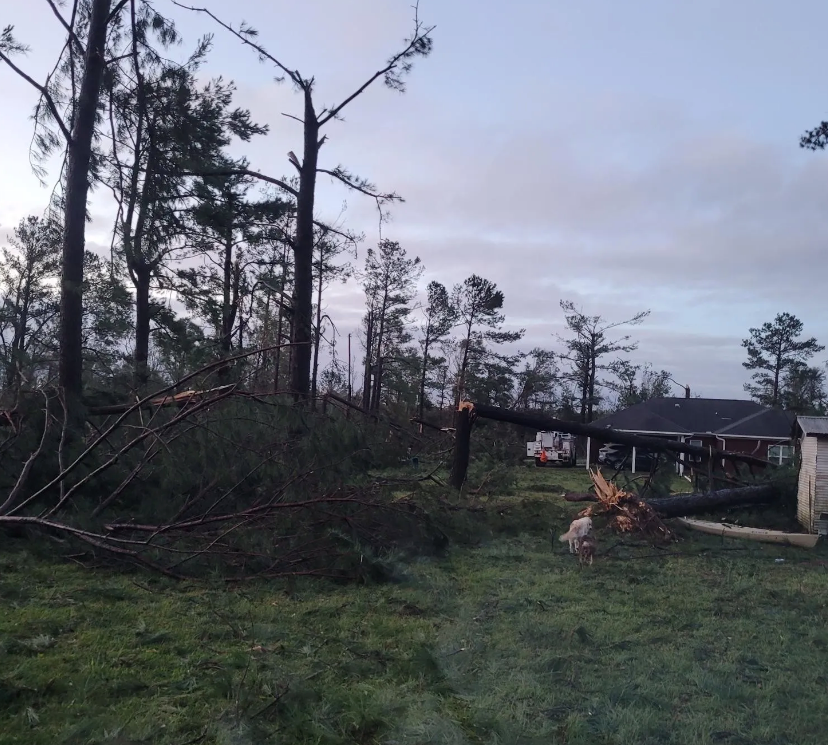
IMPACT…Expect damage to roofs, siding, and trees.
* Locations impacted include…
Oneonta, Blountsville, Cleveland, Altoona, Snead, Susan Moore,
Walnut Grove, Allgood, Fairview, Nectar, Rosa, McLarty, Bangor,
Brooksville, Easley, Chamblees Mill, Fowler Spring and Hendrix.
PRECAUTIONARY/PREPAREDNESS ACTIONS…
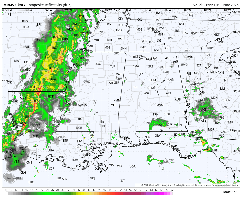
A Tornado Watch remains in effect until 400 PM CDT for central and
northeastern Alabama.
For your protection move to an interior room on the lowest floor of a
building.