


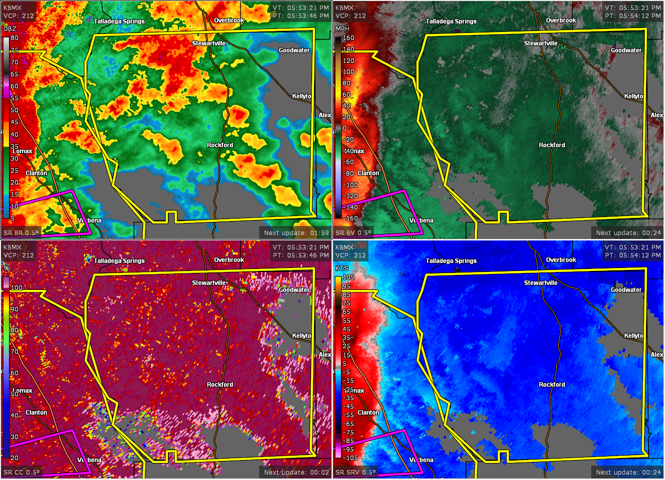
The National Weather Service in Birmingham has issued a
* Severe Thunderstorm Warning for…
Coosa County in east central Alabama…
* Until 700 PM CDT.
* At 554 PM CDT, severe thunderstorms were located along a line
extending from near Lay Lake to near Pooles Crossroads, moving east
at 55 mph.
HAZARD…60 mph wind gusts.
SOURCE…Radar indicated.
IMPACT…Expect damage to roofs, siding, and trees.
* Locations impacted include…
Goodwater, Rockford, Kellyton, Weogufka, Equality, Stewartville,
Hanover, Lyle, Pentonville, Dollar, Bradford, Cottage Grove,
Strickland Crossroads, Bentleyville, Marble Valley, Moriah,
Hatchet, Nixburg, Speed and Highway 9 and Highway 22.
PRECAUTIONARY/PREPAREDNESS ACTIONS…
A Tornado Watch remains in effect until 1000 PM CDT for central and
east central Alabama.
For your protection move to an interior room on the lowest floor of a
building.



