


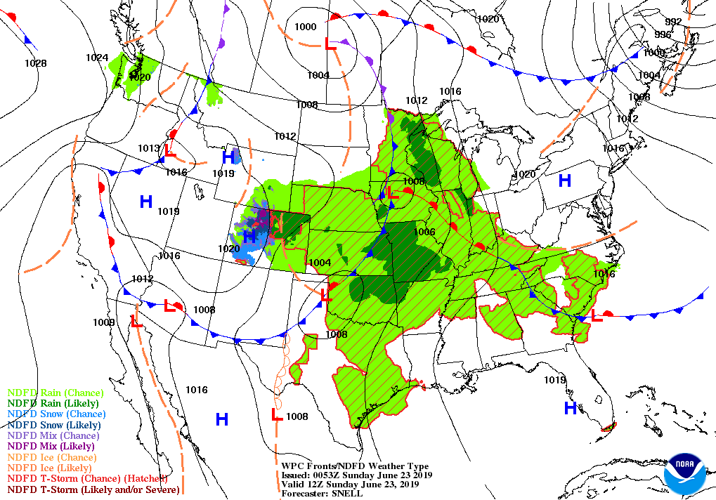
After a very busy and stormy day across the area, tomorrow may bring us some respite from stronger to severe storms. With the axis of the ridge parked over the top of Central Alabama on Sunday, much of any shower and storm activity will go around the area, with only a very small chance of a few isolated to scattered showers possible over the eastern half of the area. Skies will be partly cloudy throughout the day with afternoon highs in the lower to mid-90s. Rain chances will be around 20-30% from the I-65 corridor eastward, while west of that, rain chances will be around 10%.
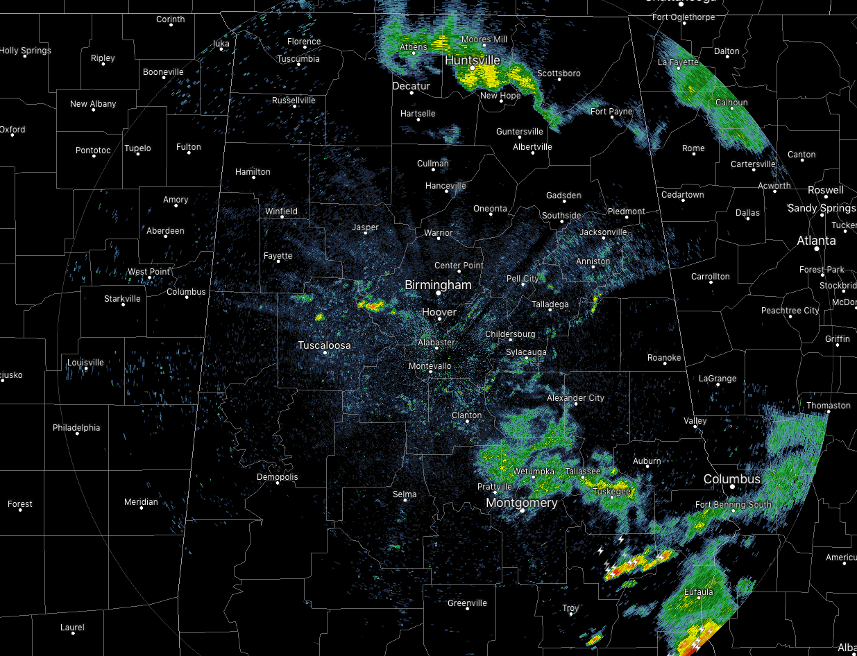
For now, we have a few pockets of showers and a few thunderstorms out there across the area with the strongest cell showing up over Bullock County. It will continue to slowly weaken and eventually move out of the area within the next hour or so. Everything else is light to moderate in intensity at this point and may continue to slowly dissipate.



