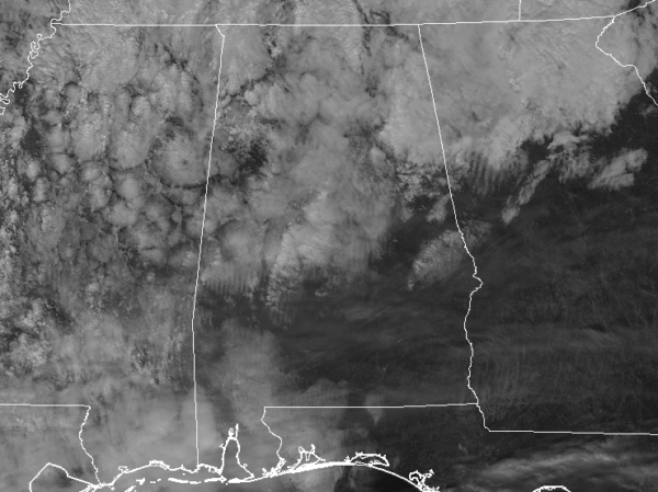
…THE SEVERE THUNDERSTORM WARNING FOR SOUTHEASTERN MARION COUNTY IS
CANCELLED…
The storm which prompted the warning has weakened below severe
limits, and no longer pose an immediate threat to life or property.
Therefore the warning has been cancelled.
A severe thunderstorm watch remains in effect until midnight CST for
northwestern Alabama.
Severe Thunderstorm Warning Continues For Parts Of Marion County Until 700 PM CST
Feb 8th @ 6:15 pm
Our line of thunderstorms means business tonight as it pushes east across Northwest and North Alabama.
At 640 p.m. the line extends from Athens to southwest of Decatur to to Phil Campbell to Double Springs to Winfield to near Columbus MS.
Tons of lightning and torrential rain with the heavier storms.
Winds could reach 60 mph and hail to the size of quarters is possible.
There is also a chance of an isolated tornado.

…A SEVERE THUNDERSTORM WARNING REMAINS IN EFFECT UNTIL 700 PM CST
FOR SOUTHEASTERN MARION COUNTY…
At 637 PM CST, a severe thunderstorm was located near Brilliant, or
near Winfield, moving east at 40 mph.
HAZARD…60 mph wind gusts.
SOURCE…Radar indicated.
IMPACT…Expect damage to roofs, siding, and trees.
Locations impacted include…
Winfield, Brilliant, Glen Allen, Gu-Win, Twin, Tucker and Texas.
Severe Thunderstorm Warning Continues For Parts Of Marion County Until 700 PM CST
Feb 8th @ 6:15 pm

…A SEVERE THUNDERSTORM WARNING REMAINS IN EFFECT UNTIL 700 PM CST
FOR SOUTHEASTERN MARION COUNTY…
At 637 PM CST, a severe thunderstorm was located near Brilliant, or
near Winfield, moving east at 40 mph.
HAZARD…60 mph wind gusts.
SOURCE…Radar indicated.
IMPACT…Expect damage to roofs, siding, and trees.
Locations impacted include…
Winfield, Brilliant, Glen Allen, Gu-Win, Twin, Tucker and Texas.
Severe Thunderstorm Warning Canceled For Parts Of Lamar County until midnight CS
Feb 8th @ 6:15 pm
…THE SEVERE THUNDERSTORM WARNING FOR NORTHEASTERN LAMAR COUNTY IS
CANCELLED…
The severe thunderstorm which prompted the warning has moved out of
the warned area. Therefore, the warning has been cancelled.
A severe thunderstorm watch remains in effect until midnight CST for
northwestern Alabama.
Severe Thunderstorm Warning Issued For Parts Of Lamar And Marion Counties Until 700 PM CST
Feb 8th @ 6:15 pm

The National Weather Service in Birmingham has issued a
* Severe Thunderstorm Warning for…
Northeastern Lamar County in west central Alabama…
Southern Marion County in northwestern Alabama…
* Until 700 PM CST
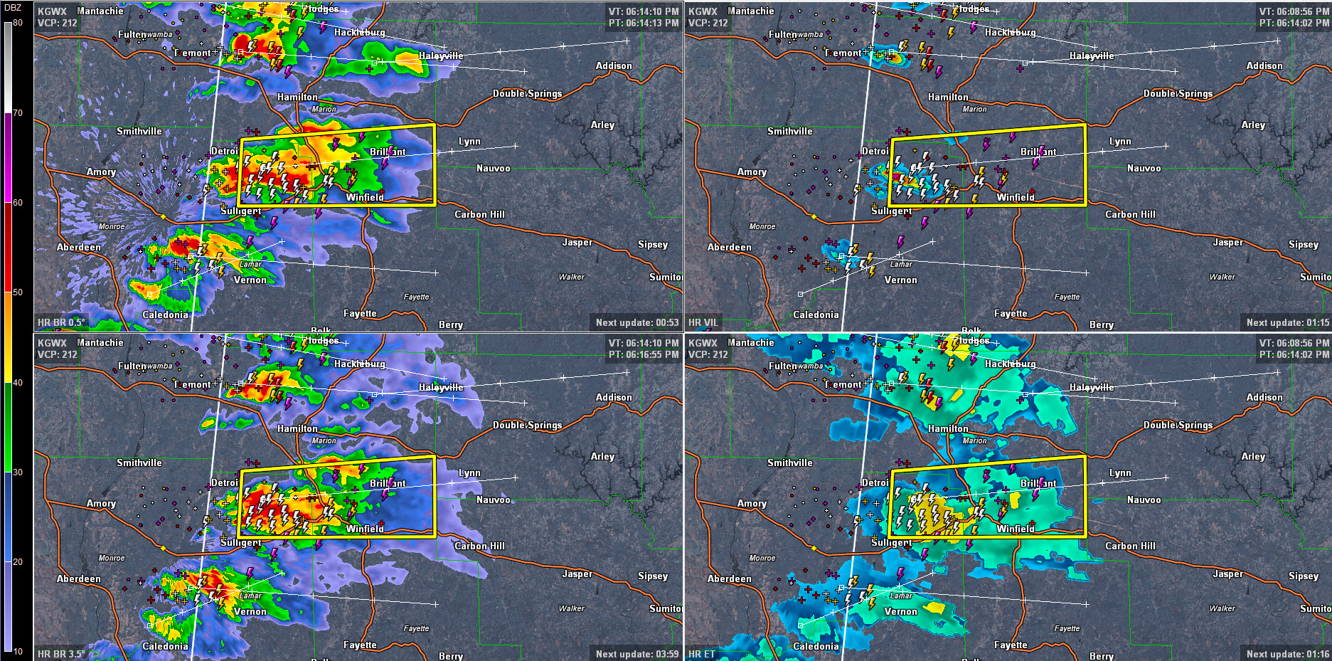
* At 615 PM CST, a severe thunderstorm was located near Beaverton, or
8 miles northeast of Sulligent, moving east at 40 mph.
HAZARD…60 mph wind gusts and quarter size hail.
SOURCE…Radar indicated.
IMPACT…Hail damage to vehicles is expected. Expect wind damage
to roofs, siding, and trees.
* Locations impacted include…
Winfield, Guin, Brilliant, Glen Allen, Beaverton, Gu-
Win, Twin, Tucker, Henson Springs, Pikeville, Texas and Marion
County Public Lake.