


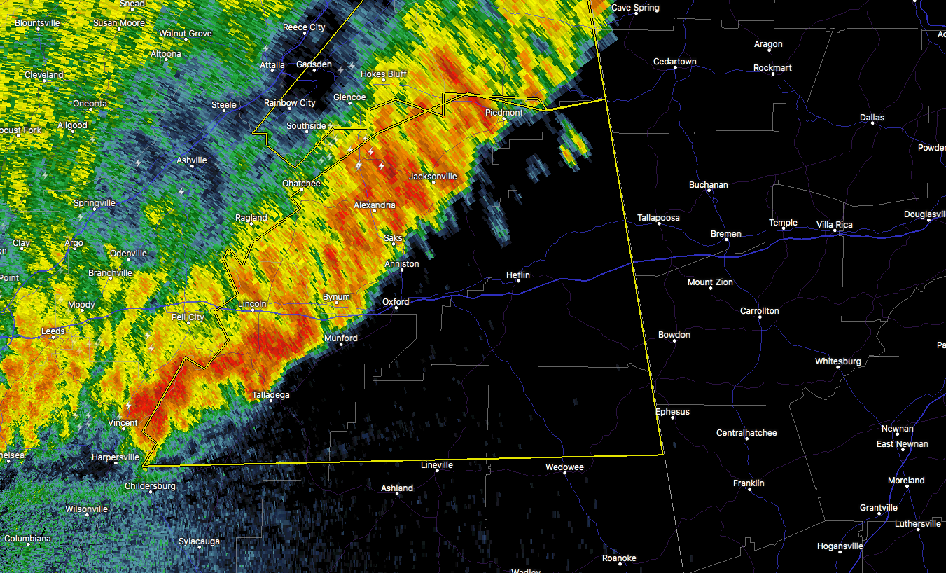
The National Weather Service in Birmingham has issued a
* Severe Thunderstorm Warning for…
Talladega County in east central Alabama…
Northern Randolph County in east central Alabama…
Calhoun County in east central Alabama…
Cleburne County in east central Alabama…
Northeastern Clay County in east central Alabama…
* Until 115 AM CDT
* At 1221 AM CDT, severe thunderstorms were located along a line
extending from near Pleasant Gap to near Jacksonville State
University to near Talladega Superspeedway to near Logan Martin
Dam, moving east at 40 mph.
HAZARD…60 mph wind gusts.
SOURCE…Radar indicated.
IMPACT…Expect damage to roofs, siding, and trees.
* Locations impacted include…
Anniston, Oxford, Talladega, Jacksonville, Piedmont, Heflin,
Lineville, West End-Cobb Town, Cobb Town, Fort McClellan, Saks,
Lincoln, Weaver, Riverside, Munford, Ohatchee, Hobson City,
Ranburne, Fruithurst and Waldo.



