


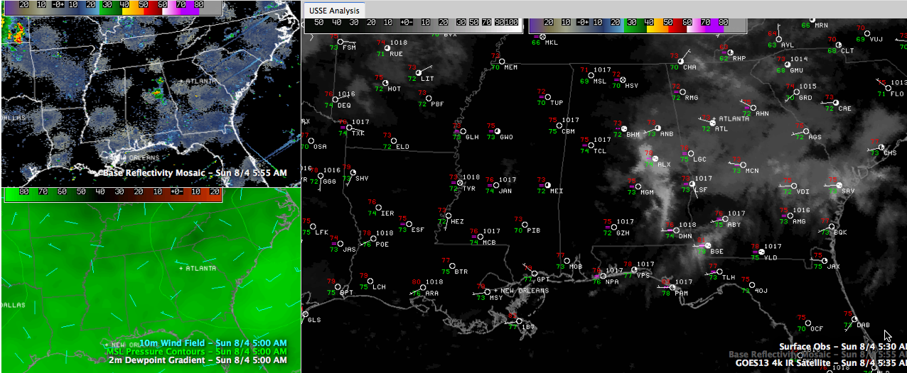
An upper disturbance produced a cluster of showers and storms over Northwest Alabama overnight that pushed southeastward.
This morning, those showers are over East Alabama, mainly over Talladega County, with another set over northern Calhoun County.
Everything is pushing southeast at about 30 mph.
The heavier showers are dumping close to three quarters of an inch of rain. We picked up 0.61 inches at the Birmingham Airport, with heavier amounts in the swath from northern Lamar through Walker into Jefferson and northeastern Shelby Counties.
Fog is developing where there are clear skies behind the showers. The visibility has been as low as 1/2 mile at Jasper, with 1/4 mile now at Haleyville. The visibility at Tuscaloosa is 4 miles. Decatur is reporting 2 miles and Huntsville 3.
The clouds will exit pretty quickly this morning in the east, with the fog burning off in the west pretty rapidly.
With a good supply of sunshine, highs should rangebetween 90-92 generally.



