


RADAR CHECK: We actually have a shower on radar at mid-afternoon, just east of Florence. Otherwise, today is another sunny, warm day across Alabama with temperatures generally in the low to mid 80s. That small shower won’t last long; tonight will be mostly clear with a low in the 57-64 degree range.
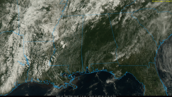
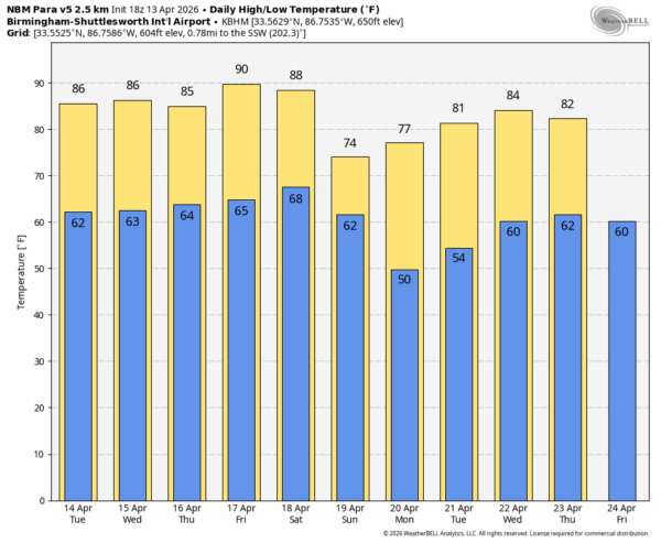
The quiet pattern continues across Alabama this week. The weather will be generally warm and dry through Wednesday with highs in the 80s. A disturbance has potential to bring a few showers to the northwest counties of the state Thursday afternoon/evening, but rain amounts will be light.
FRIDAY AND THE WEEKEND: Look for highs in the 86-92 degree range Friday and Saturday with a partly to mostly sunny sky both days. Then, a cold front will bring a chance of showers Saturday night into Sunday morning. Unfortunately rain amounts will be light; generally under a quarter of an inch. Many South Alabama communities might not see enough rain to measure. Sunday will be cooler with highs mostly in the 70s.
NEXT WEEK: Most of the week looks warm and dry. However, global models continue to advertise a pattern change that could bring meaningful rain and thunderstorms into Alabama and the Deep South by the weekend of April 25-26… See the video briefing for maps, graphics, and more details.
ON THIS DATE IN 1980: Six tornadoes touched down across Alabama, including an F2 in Lee County. In Opelika about 40 structures were destroyed or sustained major damage, while about 150 others sustained lesser damage. Many trees were uprooted and power lines were downed. I-85 NE of Opelika was temporarily closed because of downed trees and power lines. Thirteen people were injured.
Look for the next video briefing here by 6:00 a.m. tomorrow…



