


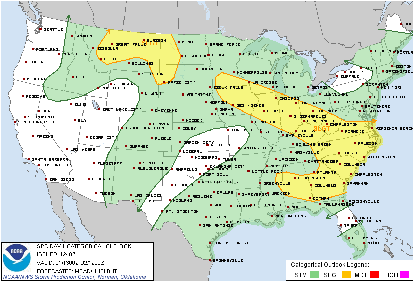
The convective outlook issued by the Storm Prediction Center just before 8 a.m. now includes much of Central Alabama.
Here is a closer look at the risk area.
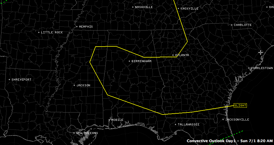
A big ridge of high pressure is centered over the Smokies this morning. But there is a weakness on the west side of the ridge. This weakness extends across Central Alabama.
The weakness will combine with intense heating during the day to create moderate instabilities across the area. Lifted index values by the afternoon will be around -7C and CAPE values will be approaching 2,000 j/kg. Any updrafts that can rise high enough into the atmosphere will have the potential to become strong to severe storms this afternoon.
Coverage will be small (less than 10 percent), but the storms that do form will have the potential to produce damaging winds, tremendous lightning, brief heavy rain and small hail. No tornadoes.



