


As is almost always the case with Alabama snow forecasts, this one is tough. At least on the last one, we knew wintry precip was coming, it was just a question of freezing rain, sleet, or snow. We wound up with mainly snow and sleet. Either way, roads, schools and businesses were closed, and we pretty much knew that was coming.
This one on Tuesday is going to be harder. Surface low near the Gulf Coast (new NAM is bringing it a little farther north; could be a trend or an anomaly), strong upper disturbance, etc. The question with this one will be temperature. No sleet or ice, it will be snow or rain.
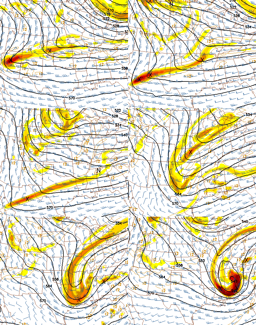
We only have the new NAM, with daytime GFS and Euro. They all show an area of heavy precipitation moving across Alabama on Tuesday. Normally, we determine snow vs. rain using a) the 850 mb 0 degrees C isotherm; b) the 1000-500 mb thickness line of 544, and c) the 1000-850 mb thickness line of 130. (Thickness is the distance between one level and another; colder air is more dense and pressure changes faster in it, so lower thickness means colder air). In this event, since we are dealing with a very cold upper-level system, the 1000-500 mb thickness looks cold enough for snow, and the 850 mb temp is around 0 C from I-20 north, but the 1000-850 mb thickness (indicator of low-level temperatures) stays above 132 in BHM until the very end of the event, indicating mainly rain with a changeover to snow at the end. This is fairly conistent across the models we have available now.
Here’s the thing. With cold air aloft, and heavy precipitation falling out of a very cold atmosphere, the models might not be handling low-level temperatures very well. We’re just not sure. The snowflakes will be very cold as they fall, cooling the atmosphere, and then when they melt, that will cool the atmosphere more. So, if the models are not handling these complex issues well, we could wind up with snow Tuesday afternoon. But, if they are handling it, it will stay near 40 most of the day Tuesday, with rain, and then a changeover to light snow late Tuesday, but no big deal south of US-278. Huntsville and NE Alabama could be looking at a big deal even if the models are right.
With the upper-level low spinning overhead, convective snow showers could form Tuesday night or even Wednesday.
Bottom line…this is a very complicated system and our confidence in the forecast is unusually low. Upper level low is the weatherman’s woe.



