


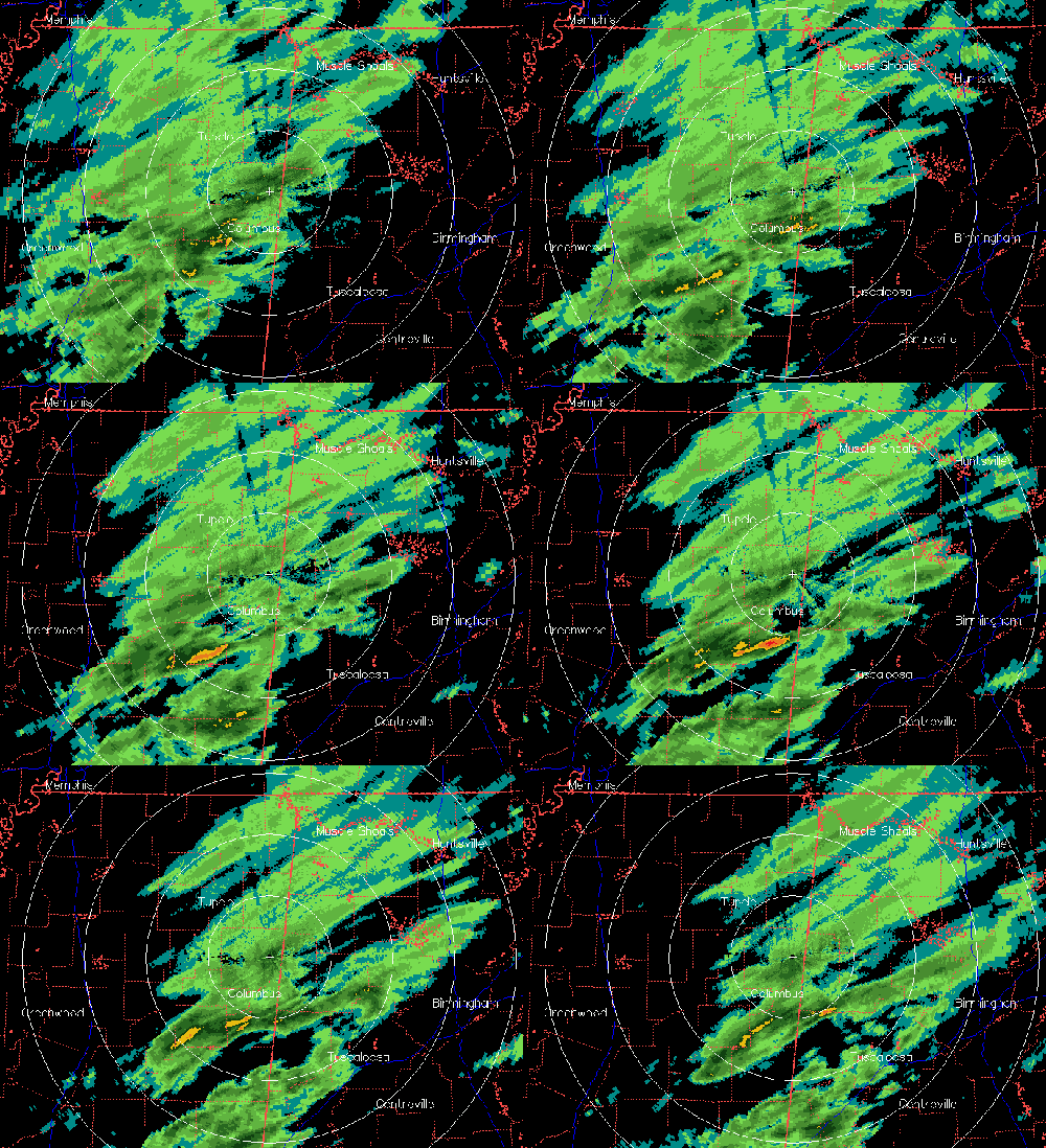
The cold front and the precipitation associated with it are moving in quickly, with some sprinkles already occurring around the BHM area. Most of the precipitation is behind the front. The cold front right now is near or just south of I-59. It has dropped to 38 degrees already in Jasper, and 32 at Russellville. Temperatures will fall rapidly in TCL and BHM in the next two hours, reaching freezing by 11 pm or so. Rain is mixing with sleet and snow as far south as Cullman and Jasper now, and we may see snow and/or sleet in BHM later this evening. The ground is white in some places around Florence and Huntsville.
You can tell on radar that the precipitation coverage is shrinking, and this is expected to continue, with the upper-level support pulling away. So, this should not be a major event. However, with even 1/4″ of snow in some places and a little rain before that, then temperatures dropping so quickly, and reaching the mid 20s by tomorrow morning, there could be some icy bridges tonight and tomorrow morning.



