


I am increasingly confident that the Thursday disturbance will bring precipitation to Alabama.
There is little question that it will be cold enough for it to be snow.
The question is how much moisture will be available.
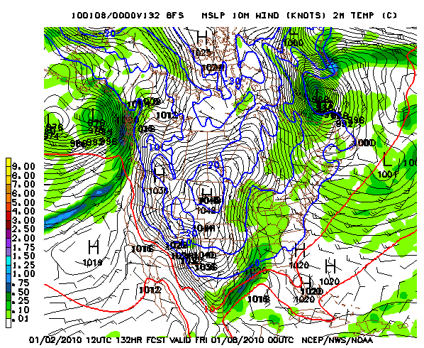
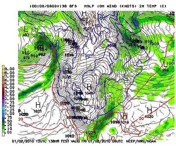
A first look at the morning run of the GFS is very encouraging for snow lovers, with snow possible at the way south to Montgomery and up to about one half inch of liquid equivalent Thursday afternoon and Thursday night, which would translate into a 2-4 inch or larger snow for parts of Central Alabama.
Here is the look at 6 p.m.Thursday:
And midnight:
If this scenario plays out, much colder air will follow on Friday, with highs not getting out of the 20s and single digits on Friday night. With snow cover, lows could be near zero Saturday morning!
I caution that this is just one model run, and the idea of a significant snow could disappear on future runs. But there is enough evidence now to start watching closely what will happen Thursday and Friday on top of the already dangerous cold we are going to have in place.



