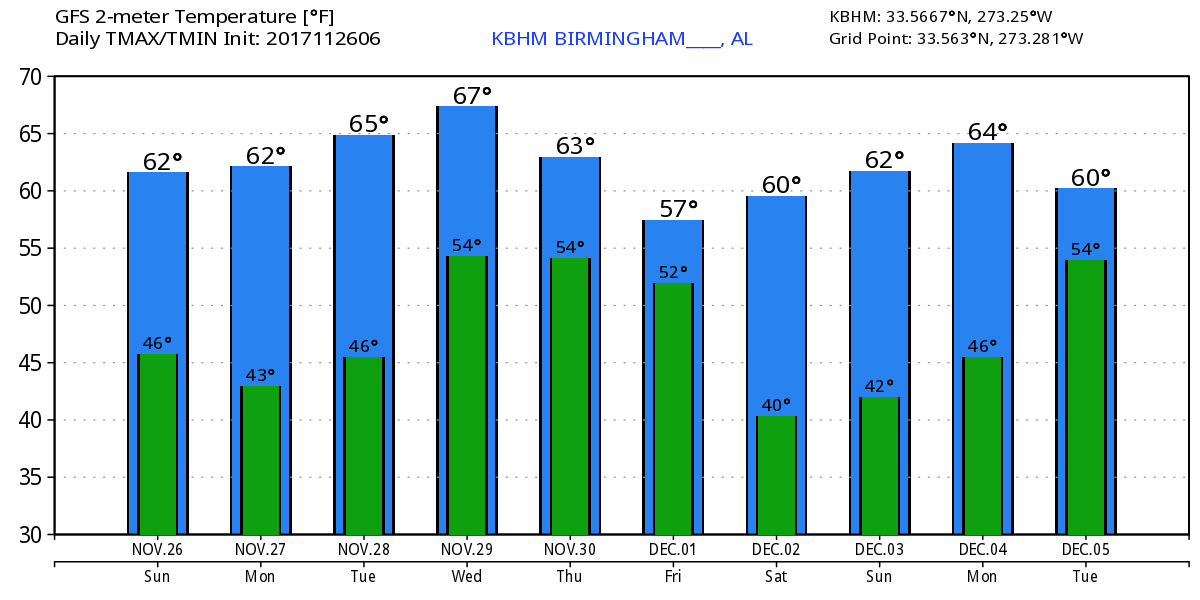
A nice cool, clear start to your Sunday as a surface high pressure system moves into and across the Southeast today and Monday. Highs today are likely to reach the middle 60s across Central Alabama. Monday should be another sunny and pleasant day as the surface high slides slightly further east with a continuation of northwesterly flow aloft as the upper trough moves away to the east. Highs a few degrees cooler with values in the lower to middle 60s. Our 30-year averages for late November are around 62.
Tuesday we have our eye on a fairly strong trough coming across the central US extending all the way from Minnesota to Texas. At the surface there will be a strong surface low well into Canada with a cold front trailing from Lake Michigan to Central Texas. This is the system that looked potentially severe last weekend, but as you’ll see in the video the precipitable water values are unimpressive, so only some thunderstorms expected in the southern Plains. Southerly flow across the Southeast US should bring highs up to around 70.
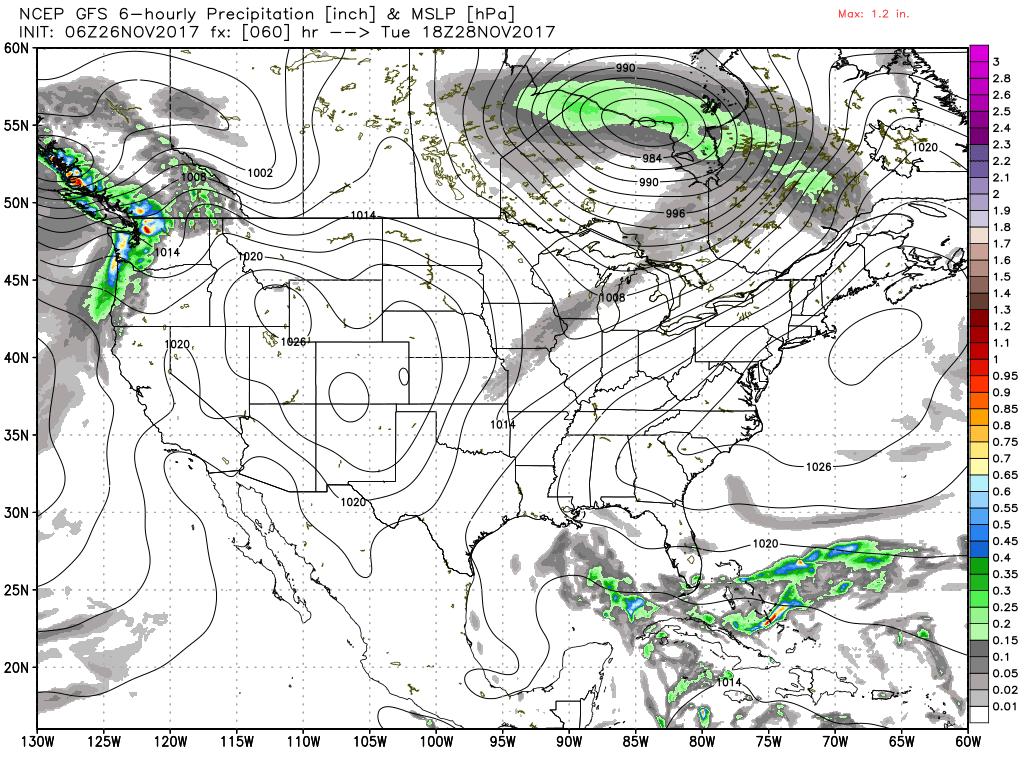
That short wave comes by on Wednesday followed quickly by another one coming at us on Thursday and moving by on Friday. Precipitable water values continue to remain relatively low, so we should see mainly an increase in clouds, but the strong forcing in place due to the upper troughs and the surface fronts means we’ll have to mention the potential for scattered showers from Wednesday into early Friday. CAPE values are simply non-existant so I do not expect to even hear any thunder. High temperatures drop back on Wednesday with the passage of the first trough with highs in the lower 60s. They recover quickly into the upper half of the 60s for Thursday but fall back again for Friday and Saturday with readings in the lower 60s.
The passage of the upper trough on Friday paves the way for a pleasant Saturday with readings around 60. Saturday is also the day many communities including Helena have scheduled their Christmas parades. An upper ridge building into the area on Sunday will warm our highs into the middle 60s.
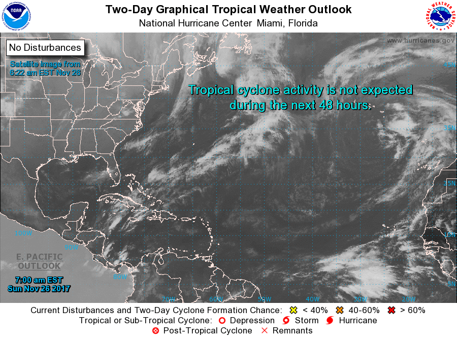
The tropics remain quiet as we wind down the active 2017 hurricane season in the Atlantic Basin.
Looking out into voodoo country, the pattern remains active. A nice ridge on the 5th of December promises several days of warm weather. The GFS indicated a strong, low latitude closed low coming across the Lower Mississippi River Valley on the 8th of December. However, this one also appears likely to be short in the moisture department, so while the pattern suggests potential for severe weather, without that moisture it’s not likely to be much. By the 10th and 11th we’re under a ridge once again.
Beach Forecasts: For a detailed look at the weather from Fort Morgan to Panama City Beach, click here to see the AlabamaWx Beach Forecast Center page. The Beach Forecast is partially underwritten by the support of Brett/Robinson Vacation Rentals in Gulf Shores and Orange Beach. Click here to see Brett/Robinson’s Hot Deals now!
Rivalry Saturday was quite a day for football fans. Neither Florida nor Florida State have had very good seasons this year, but Florida State rose to the challenge to go out on a positive note by beating our big rival. Go Noles! Special thanks to Bill Murray for filling in for me yesterday so I could enjoy a final day in Tallahassee, FL, with my wife’s side of the family. James Spann will have the next Weather Xtreme Video posted here bright and early on Monday morning. Godspeed.
-Brian-