


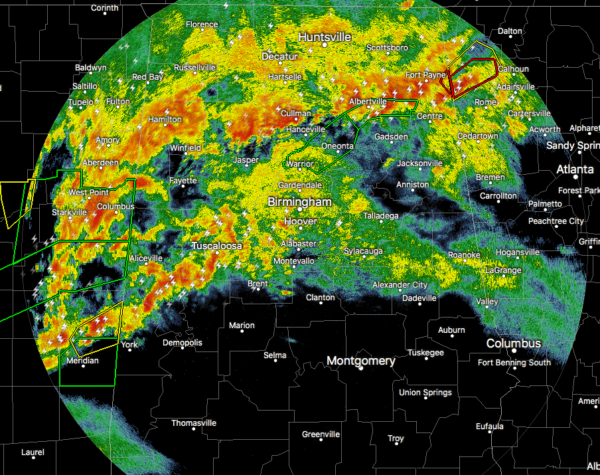
As of 7:09 pm, there are no active tornado or severe thunderstorm warnings in effect for North/Central Alabama at this point. We still have moderate to heavy thunderstorms falling north of the I-20 and I-20/59 corridors with not very much going on south of that.
Just as I typed that, a new tornado warning was just issued for Greene County until 8:00 PM
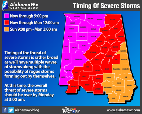
This is the latest thinking of what we expect the timing of severe storms will be for the rest of the night and into the overnight hours:
West of a line from Demopolis to Sumiton to Huntsville will be from now through 10:00 pm tonight.
East of that to a line stretching from Fort Deposit to Alexander City to Fruithurst will be from 4:00 pm this afternoon through Monday at 1:00 am.
The southeastern parts of the area will be from 7:00 pm tonight through Monday at 2:00 am.
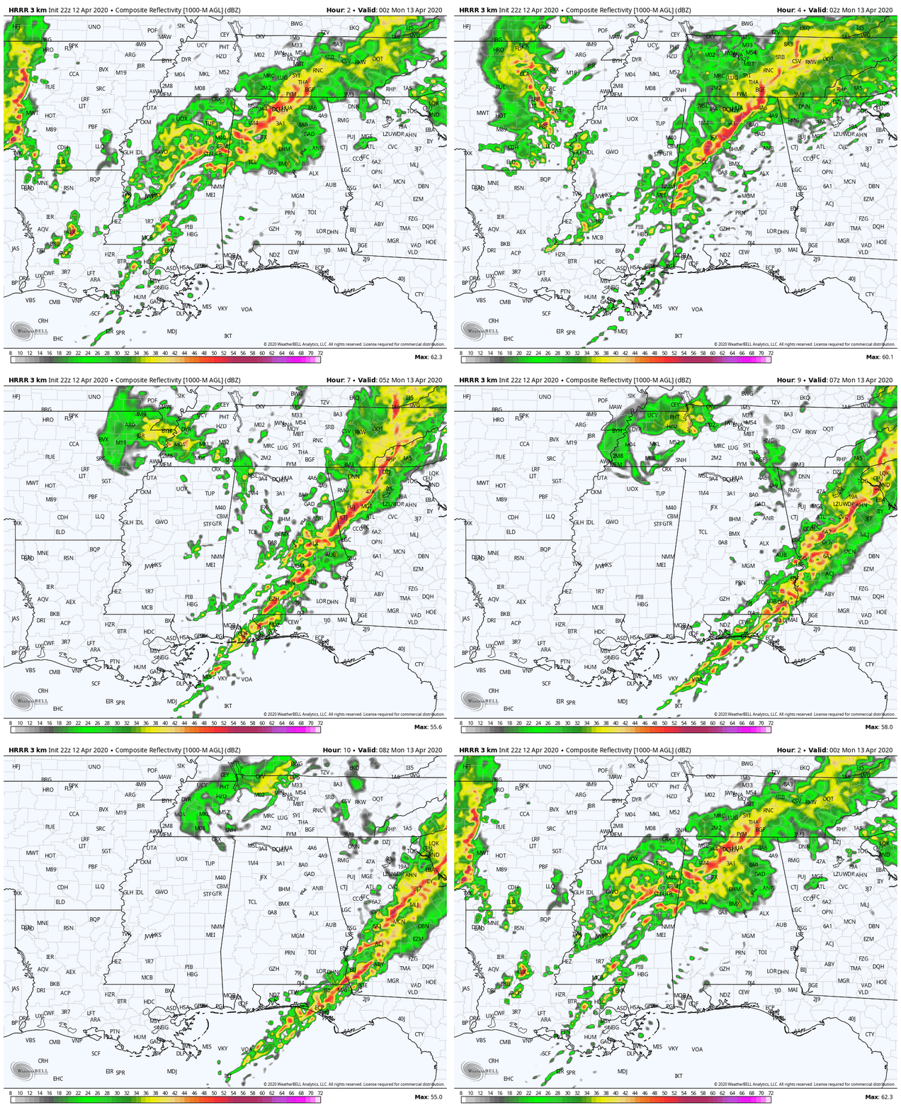
This latest HRRR simulated radar animation continues to show more waves of storms moving through the area throughout the rest of the evening and into the late-night and overnight hours. Much of the area that had storms move through will recover enough to keep the threat of severe storms going. The southern parts of the area will really be unstable through the rest of the night as that air has really been untapped today.
There have been just too many damage reports to list on here, but the latest Local Storm Report Summary has 25 damage reports listed from the one supercell that has caused damage as it crossed the entire state and just moved into Georgia.
Stay on guard because we have several hours to go.



