


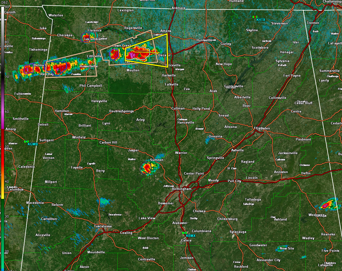
All indications are it will be another active afternoon across North and Central Alabama.
The NWS in Huntsville has issued a severe thunderstorm warning for parts of Lawrence, Limestone, and Morgan Counties in North Alabama. It is part of a chain of storms from northern Franklin County to just south of US-72 in Lawrence and Limestone Counties. The storm in Lawrence County has exhibited a big jump in lightning output. The storms are tracking east at the blazing speed of 15 mph. There is not much bulk shear, around 20 knots, so the storms will be multicellular mostly.
Across Central Alabama, we have an isolated storm southwest of Sumiton in Walker County and one northeast of Wedowee in Randolph County. Persistent cloudiness across the middle of the state is limiting the approach to convective temperatures. The WRF model indicates the storms will continue to blossom over the northern third of the state through the afternoon and into the evening. The SPC has a Marginal Risk over the northern two thirds of the state through the afternoon and into the overnight.
Be alert to darkening skies and pay attention to weather alerts.



