


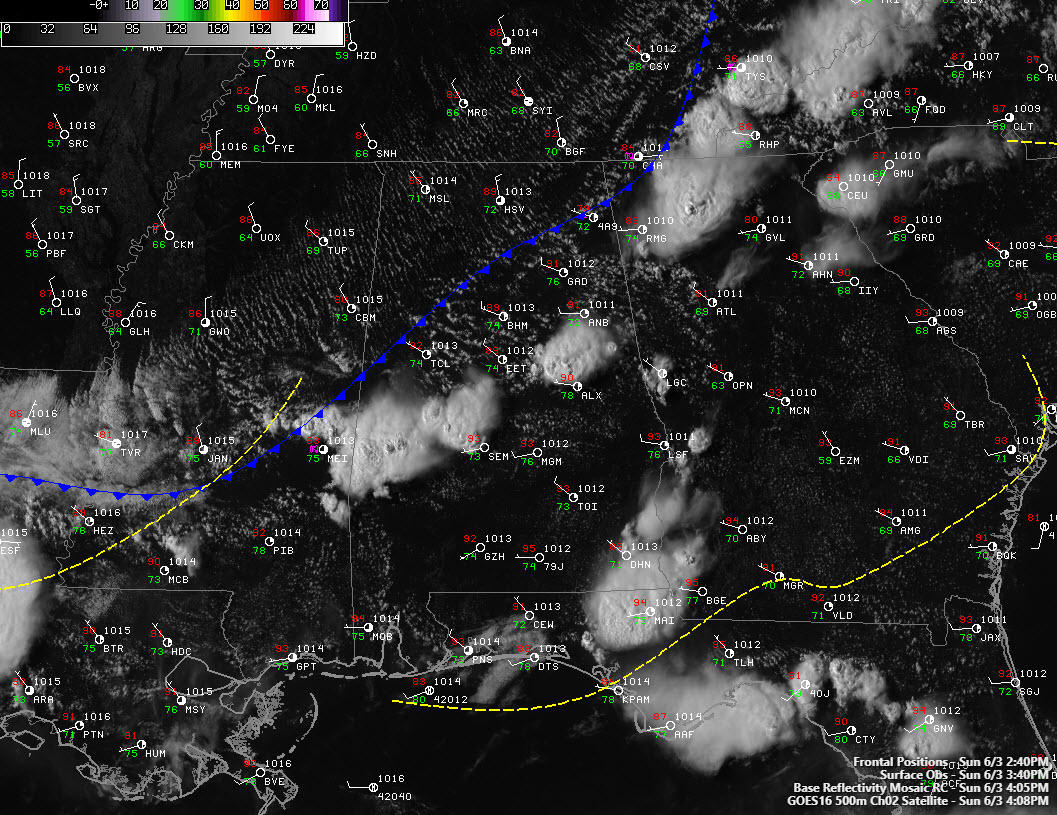
Our cold front is near I-59 at this hour. Strong storms have formed ahead of the front. They are quite impressive on GOES-16 visible satellite imagery.
Radar shows the storms over East Alabama across parts of Coosa County about to move into Tallapoosa County. They are strongest from Alex City back up US-280 to near Sylacauga and back over to northwest of Rockford. Very heavy rain, lots of lightning and some small hail are accompanying the storms. There will also be strong, gusty winds. A new storm has formed near Wadley in Randolph County. Look for it to intensify as it pushes southeastward into Chambers County, passing near Five Points.
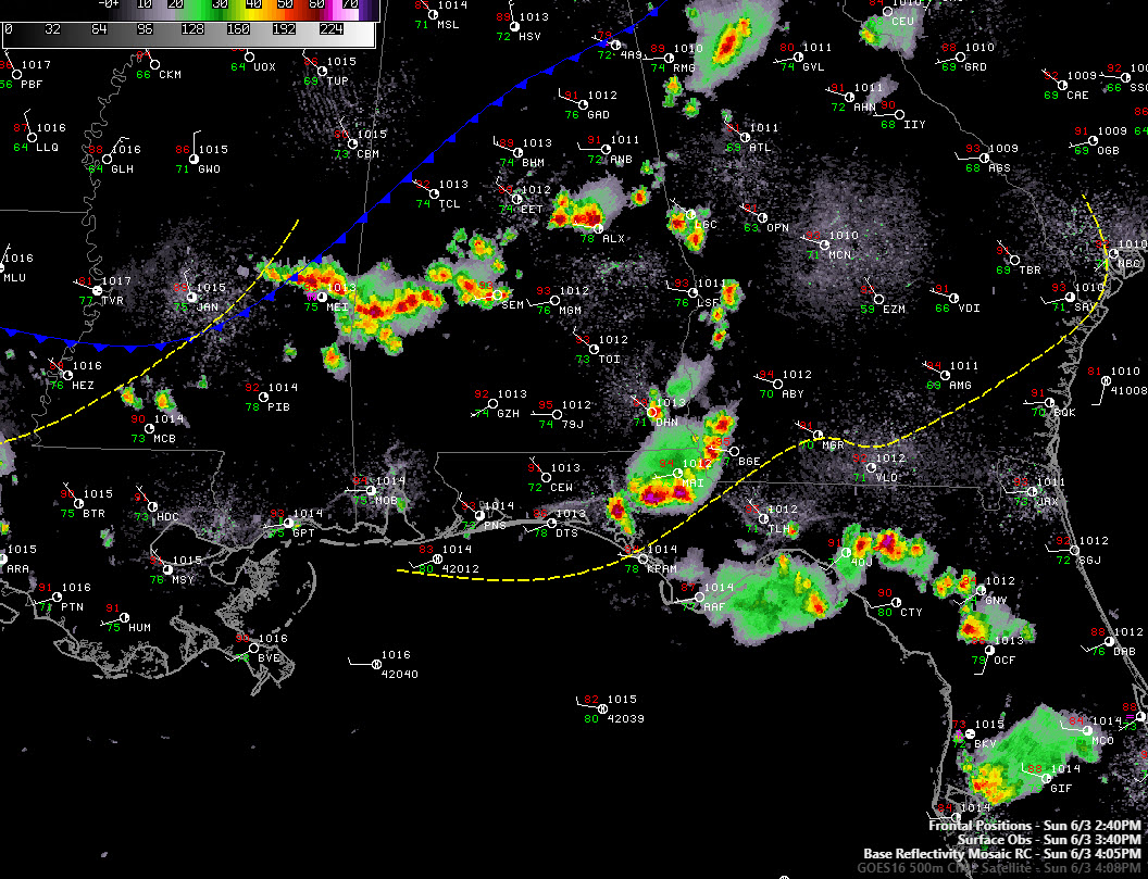
Across West Central Alabama, storms are over parts of Choctaw, Marengo, Perry, and Dallas Counties. They are the strongest north of Butler over to Linden. Some small hail is likely with the stronger storms here, along with gusty winds, heavy rain, and deadly lightning.
There could be a shower through 7 p.m. for areas from Tuscaloosa to Birmingham to Anniston and Gadsden, but I would say the storm threat is over for area north of I-20.
A pleasant night and pleasant start to the work week is ahead of Central Alabama.



