


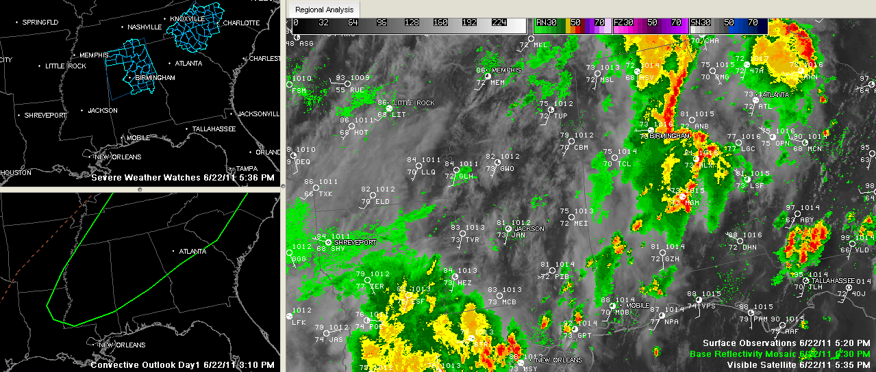
This map doesn’t show these cleared counties yet…
THE NATIONAL WEATHER SERVICE HAS CANCELLED SEVERE THUNDERSTORM
WATCH 539 FOR THE FOLLOWING AREAS
IN ALABAMA THIS CANCELS 4 COUNTIES
IN CENTRAL ALABAMA
BLOUNT CHILTON JEFFERSON
SHELBY
THIS INCLUDES THE CITIES OF…ALABASTER…BIRMINGHAM…CLANTON…
COLUMBIANA…HOOVER…ONEONTA AND PELHAM.
The watch continues for Calhoun, Cherokee, Clay, Cleburne, Coosa, Etowah, Randolph, St. Clair, Talladega, Tallapoosa [AL] till 8:00 PM CDT
At 5:45, strong storms are lined up from DeKalb through Etowah and into St. Clair Counties.
New warning for Calhoun County.
Then they arc from Talladega into Clay, Tallapoosa and down into Elmore and Montgomery Counties.
The storms will pack a punch with torrential rains, deadly lightning and strong gusty winds as they continue pushing east and northeast. There may also be some damaging winds and small hail in St. Clair and Etowah Counties.
REPORTS FROM THE SKYWATCHERS
…From John Talbot…Wattsville FD on scene at hwy 231 & 174 on tree down with power lines & they have a call holding at 2400 bl of Old Coal City Rd with the same. This is in St. Clair County east of Odenville.
…Judy Freeman reports 1.08 inches of rain in Center Point. Not as lucky at the Airport, where only 0.23 inches as fallen.



