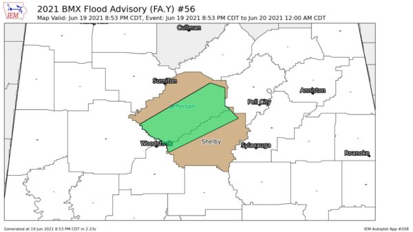
That line of showers and thunderstorms continues to push SE near a cold front that will bring us sharply cooler temperatures.
At 4:15, the main line of showers and storms extended from North Greene County across South Tuscaloosa County into South Jefferson County. The heavier showers and thunderstorms will be crossing into the following areas soon:
* North and West Shelby County
* North Bibb County including Green Pond, Woodstock, West Blocton
* North Hale County including Moundville and eventually my Havana Junction
* North Greene County
The strongest thunderstorms were near the Tuscaloosa-Bibb County line near and east of Vance. Everything is moving toward the east and SE.
FROM THE 33/40 SKYCAMS
* Downtown Birminghm: gusts to 26 mph
* Hamilton: temperature down to 63 degrees and 0.86 rainfall so far
* Inverness: north winds gusting to 34 mph
* Downtown Tuscaloosa: gusts to 28 mph and 0.68 inches of rain
A few other notes:Â Loud thunder now in NE Trussville with moderate to heavy rain. Heavy rain was reported earlier at Gardendale in North Jefferson County with 1/3 inch falling quickly. Heavy rain also earlier at Northport across the river in downtown Tuscaloosa.