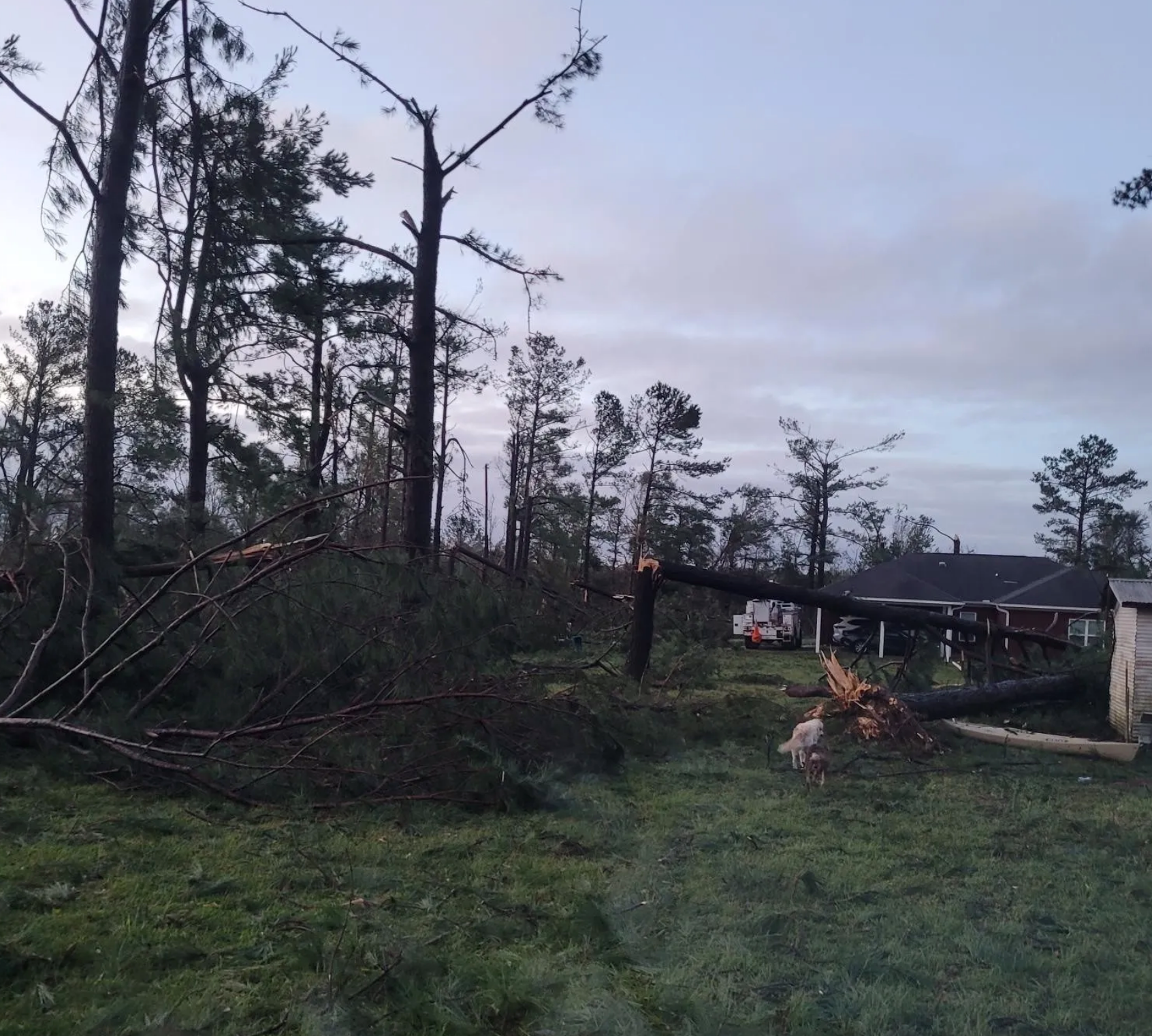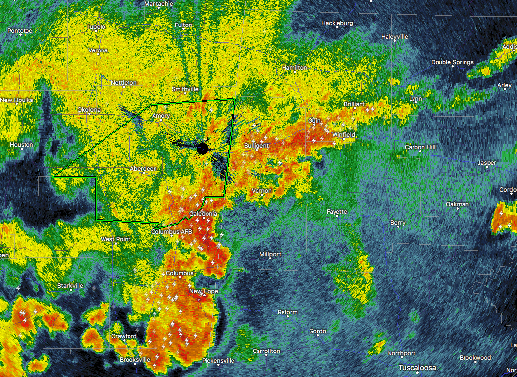
At 9:18 PM CDT, Doppler radar was tracking a strong thunderstorm near Ethelsville, or 9 miles southeast of Columbus, moving east at 30 mph. Pea size hail and winds in excess of 40 mph will be possible with this storm.
A SIGNIFICANT WEATHER ADVISORY is in effect for Northern Pickens County until 9:45PM CDT.
Locations impacted include…
Gordo, Reform, Carrollton, Pickensville, Ethelsville, Ashcraft Corner, North Pickens Airport, McShan, Shaw, Owens, Kirk, Pine Grove, Lubbub and Forest.
Torrential rainfall is also occurring with this storm, and may lead to localized flooding. Do not drive your vehicle through flooded roadways.
______________________________________________________________________
At 9:20 PM CDT, Doppler radar was tracking a strong thunderstorm near Steens, or 10 miles east of Columbus AFB, moving east at 20 mph. Pea size hail and winds in excess of 40 mph will be possible with this storm.
A SIGNIFICANT WEATHER ADVISORY is in effect for Southern Lamar County until 9:45PM CDT.
Locations impacted include…
Vernon, Millport, Kennedy, Cody, Star, Hightogy, Lamar County Public Lake and Melborne.
Torrential rainfall is also occurring with this storm, and may lead to localized flooding. Do not drive your vehicle through flooded roadways.