


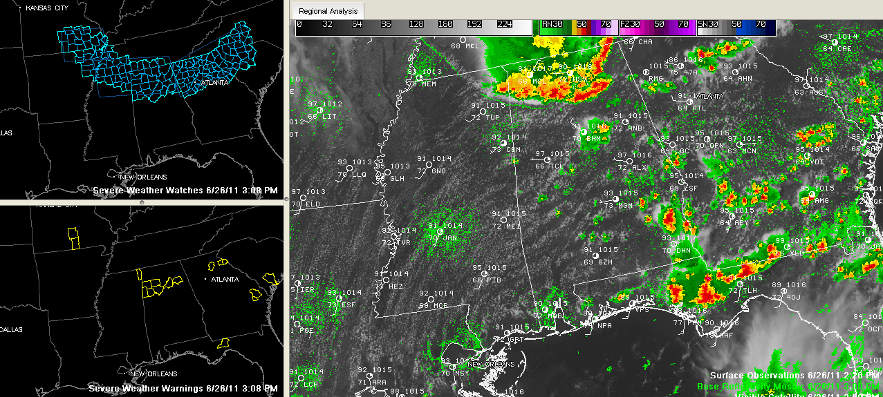
A curved line of intense thunderstorms continues to push southward across North Central Alabama this afternoon.
It extends across southern Franklin, southern Lawrence, into northern Winston, northern Cullman/southern Morgan, northern Blount, southern Marshall and DeKalb counties where it splits into a segment that runs up through Jackson County.
Severe thunderstorm warnings remain in effect ahead of the line for northern Blount and Etowah Counties. The warning fro the west Alabama counties expired at 3:15 and was replaced with a significant weather alert.
There have been several reports of downed trees from the Tennessee Valley of North Alabama. High winds and power outages were reported in the Fairview community in Cullman County. Other reports of trees down have been received from Lauderdale Lawrence, Morgan and Madison Counties in North Alabama.
This line of storms will produce damaging winds, small hail, torrential rains and deadly lightning.
Isolated storms are east of Birmingham along I-20 in southern St. Clair and northern Talladega Counties.



