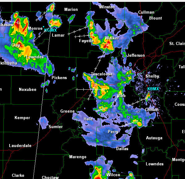
It has been a fairly active night across Central Alabama as an upper-level disturbance allowed for convection to develop. There were a couple of severe thunderstorms warnings earlier, but those have expired.
We are still monitoring strong storms as they push west across Central Alabama this morning. These storms continue to pack a punch as they have gusty winds, hail, very heavy rain, and dangerous lightning.
The worst of the weather has now pushed west of Interstate 65 with some of the more intense storm impacting Walker, Fayette, Tuscaloosa and Hale Counties. This activity will continue to push of to the west over the next few hours into Mississippi. Over the last hour, there has been a general weakening trend for the storms. Hopefully we will make it through the rest of the night without any more warnings.