


Most of the storms continue to be from Selma to MGM and south. However, a new severe storm has developed in eastern MS, and is moving toward west AL.
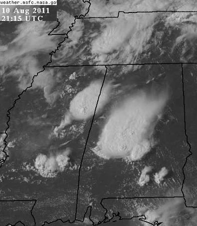
The air is fairly unstable over central Alabama, so we’ll have to see if any additional thunderstorms develop and come in tonight. High clouds from the anvil tops of other storms will hold temperatures way up in the 80s this evening, so we could see storms for a little while after sunset. There is a strong thermal boundary from earlier storms from south TN into north MS…sometimes storms form along boundaries like this just before sunset as the atmosphere transitions to nighttime. We’ll keep an eye on it.
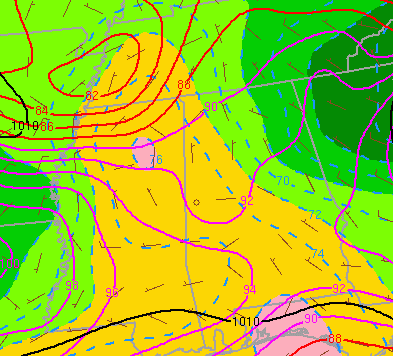
(Temp in red, dewpoint color fill and dashed)



