


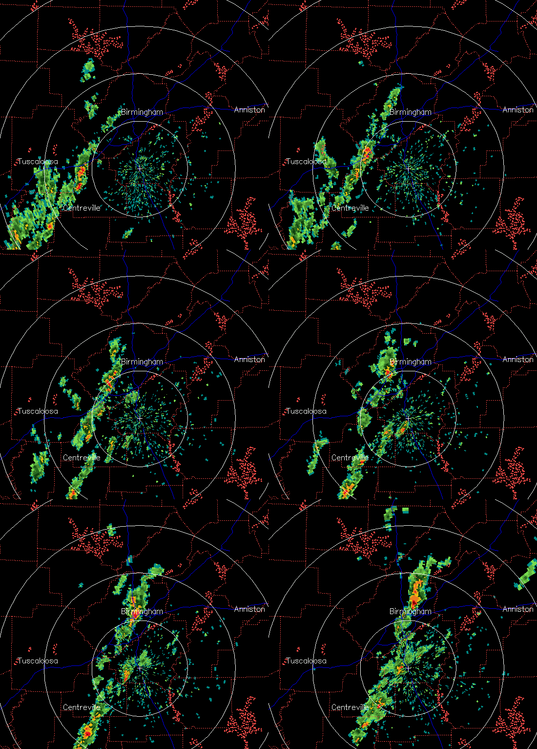
A line of thunderstorms has developed in central Alabama this afternoon ahead of a very strong cold front in MS. The heaviest rain extends from Tarrant and Center Point up to Pinson and Grayson Valley. These storms may slowly intensify this afternoon, as the air is fairly unstable (CAPE about 1,000 J/kg), and additional storms could form later ahead of the front, that won’t move in until late afternoon/evening.
I’ll have more on the big time cold air moving in late this afternoon…frost is a good possibility as far south as Clanton or even Montgomery.



