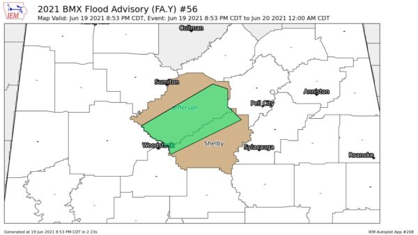
Showers have become numerous over a broad area of North central Alabama. Everything is moving toward the NE.
There has been an increase in lightning between Tuscaloosa, Jasper and Fayette.
Some of the heaviest rainfall was between Jasper and Cullman and also over parts of Franklin and Lawrence County.
Strong thunderstorms over East Central Mississippi were headed generally toward Livingston and Demopolis in West Alabama.
NEW SEVERE WEATHER OUTLOOK
The SPC (Storm Prediction Center) in their updated severe weather outlook has increased slightly the area in Alabama under a moderate risk for today (Wednesday) The moderate risk now easily covers 2/3 of the state and extends from about the Hamilton-Oneonta-Gadsden line southward to the coast. The rest of North Alabama isunder a slight risk.
OTHER NOTES
We have not seen a report of a confirmed tornado touchdown in Arkansas tonight, however hail one inch in diamater was reported near Mena at 11:25 pm There were several reports of wind damage this afternoon and evening in South Louisiana.