


The SPC just issued a mesoscale discussion for the increasing tornado threat over eastern Mississippi.
Here is a current graphic showing the satellite, radar, temperatures, the area covered by the mesoscale discussion in Mississippi.
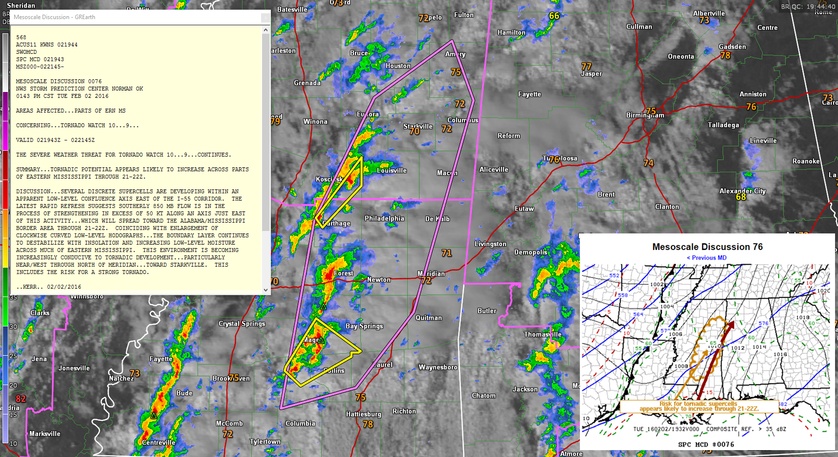
Click image to enlarge.
This activity will of course push into western Alabama between 3 and 4 p.m.
The airmass across western Alabama is increasingly unstable, with CAPE values already between 1000-15000 joules/kg.



