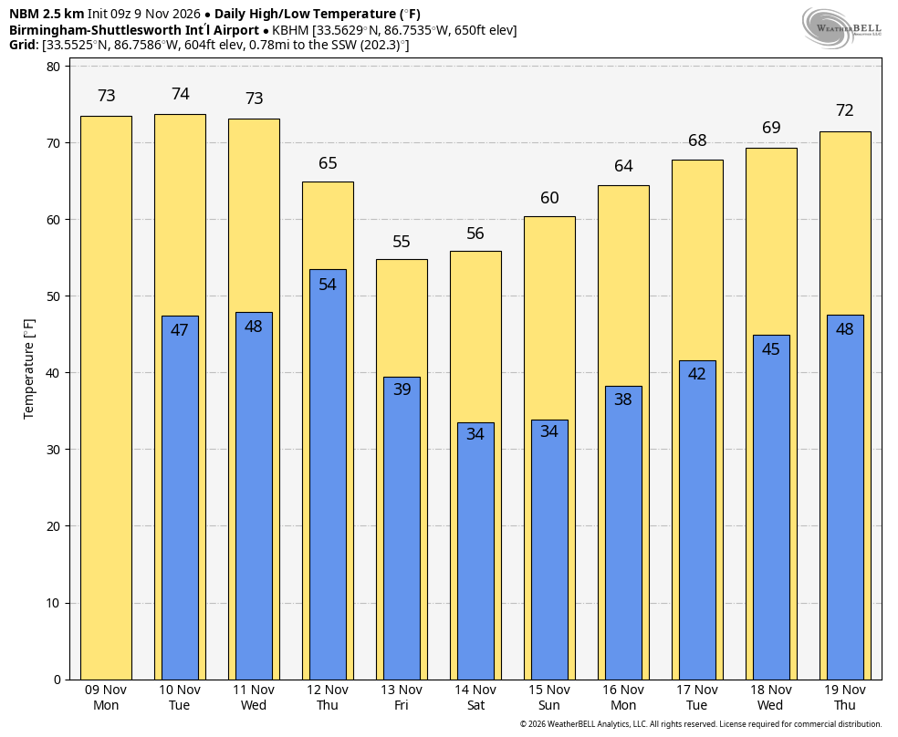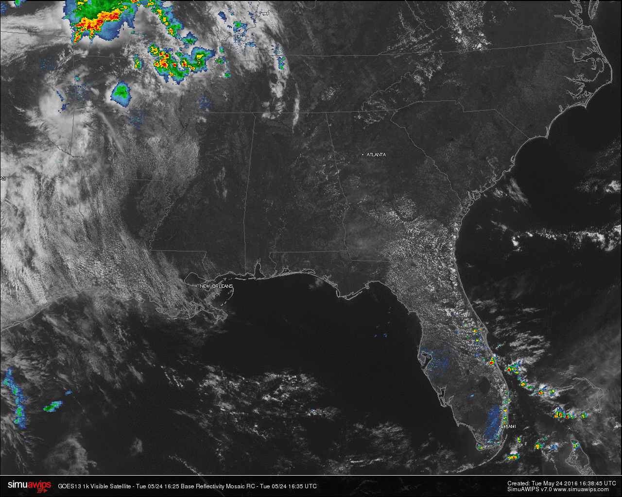
Mostly sunny skies across Central Alabama at this hour, with no rain on radar. It will stay that way for the rest of today for the area. The main action in the lower 48 states right now is located in West/Central Missouri and extreme Northeastern Arkansas. These slow moving storm are currently below severe limits, but is a high output of lightning and heavy rain associated with these storms. They are pushing to the east, but will be no threat to Alabama’s weather today.
QUICK LOOK AT TEMPERATURES: Almost every reporting station in Central Alabama at this time are up into the 80s, with the warm spot in the state being Montgomery at 85. Here is a list of temperature readings from across the state at this time:
Birmingham 82
Tuscaloosa 82
Muscle Shoals 83
Huntsville 82
Anniston 80
Alexander City 78
Montgomery 85
Dothan 83
Mobile 81
REST OF TODAY: Mostly sunny skies with afternoon highs reaching the mid to upper 80s for most communities in Central Alabama. A few clouds may move across the area later this afternoon and evening. Should still feel fairly comfortable with dew points in the 50s, and that will keep the humidity levels down.
AIR QUALITY ALERT FOR BIRMINGHAM AREA: Today’s Air Quality Index will be in the CODE ORANGE (unhealthy for sensitive groups) for ozone. The following groups should limit prolonged outdoor exertion:
• People with lung or heart disease
• Children and older adults
• People who are active outdoors
CLIMATOLOGY FOR BIRMINGHAM: The normal high temperature for May 24th in Birmingham is 83, while the normal low is 60. The record high of 96 was reached in 1996. The record low of 46 was set back in 1917.
WEDNESDAY: Mostly sunny skies tomorrow, but it will not feel as pleasant as it has due to a rise in dewpoints/humidity levels. Afternoon highs will also be on the rise, as most communities will be close to, or slightly over, 90 degrees.
HEADED TO THE BEACH: Mostly sunny days, fair nights through the Memorial Day weekend from Gulf Shores over to Panama City Beach. Highs on the immediate coast will be in the low 80s, with upper 80s inland. Sea water temperatures are generally between 77 and 81 degrees. See a very detailed beach forecast here.
TROPICAL MISCHIEF?: Global models are hinting at a hybrid low forming near the South Atlantic coast late this weekend. There is some chance it could be a “sub-tropical storm”. One way or another it won’t directly impact Alabama weather.
SEC BASEBALL TOURNAMENT: It begins today at the Hoover Metropolitan Stadium; the weather looks fantastic with mostly sunny days and fair nights through Friday. We will mention a small risk of an afternoon shower or storm Saturday and Sunday, but rain should pose no big issues. The weather will heat up with highs in the 87-90 degree range most afternoons. Get information about the big event here.
WEATHERBRAINS: Don’t forget you can listen to our weekly 90 minute netcast anytime on the web, or on iTunes. This is the show all about weather featuring many familiar voices, including our meteorologists at ABC 33/40. You can find it here.