


Current warnings, the severe thunderstorm watch outline, radar, satellite and heat index values across North and Central Alabama…
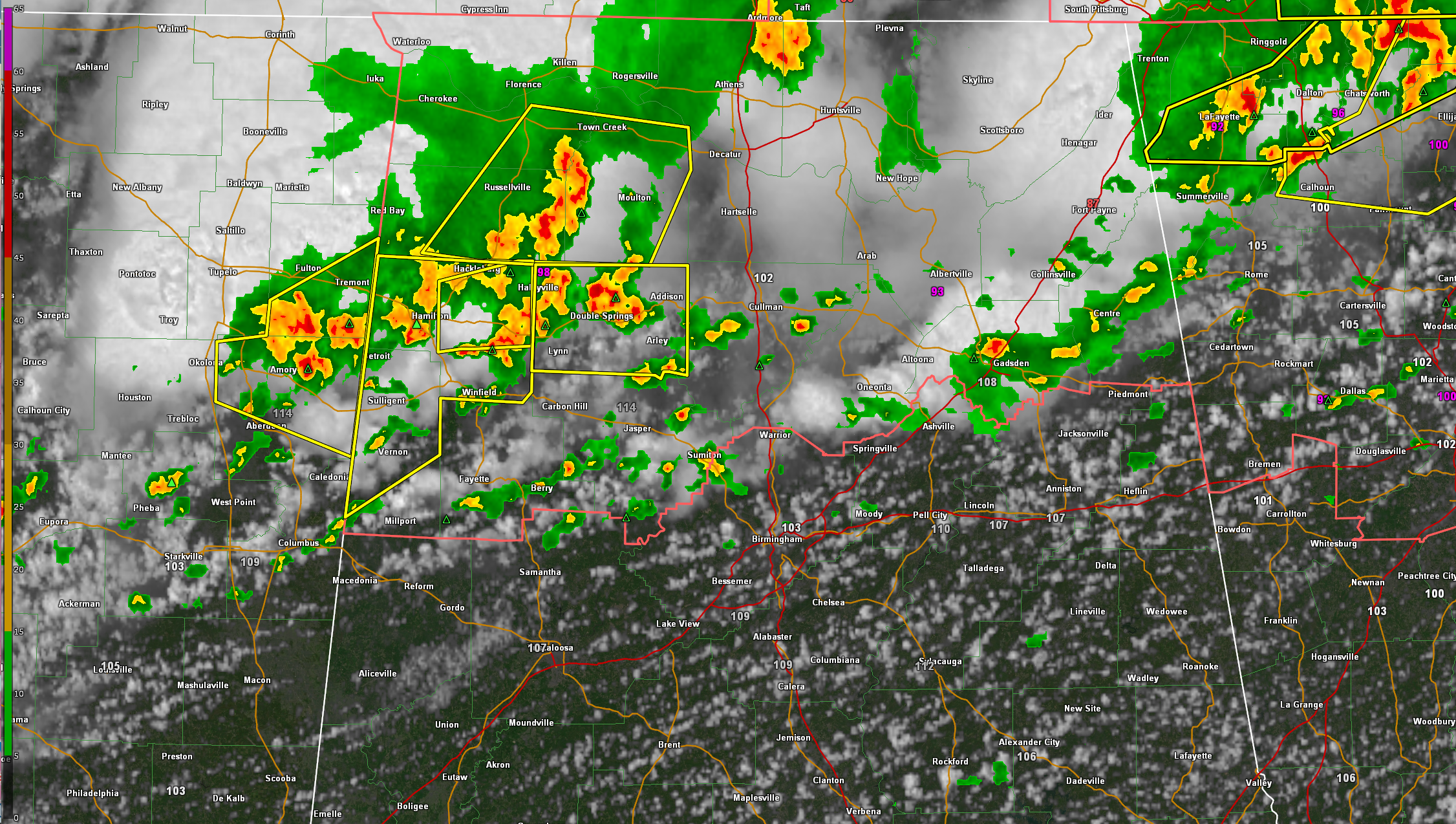
There are numerous severe storms over Northwest Alabama at this hour. All are capable of damaging winds. The activity will shift slowly east southeast with time.
There is a broken line of storms from Northeast Alabama in the Gadsden/Cedar Bluff areas extending westward across Blount, northern Jefferson, Walker, Fayette, Pickens, and northern Tuscaloosa Counties. These storms are not severe, but the atmosphere is very unstable and downbursts could occur at any time producing damaging winds at the surface. The NWS Birmingham just issued a Significant Weather Alert for the storms calling for winds up to 50 mph.
There is some chance that there will be a local extension of the severe thunderstorm watch to include some counties to the south of the current watch. We will let you know if we hear of anything related to that, but everyone in Central Alabama needs to stay abreast of the weather this afternoon.



