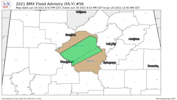
Showers persist across Alabama tonight but there is little or no lightning. The more extensive area of showers was over about the south 1/3 of the state. Some of the heaviest rain was over North Mobile County and North Baldwin County. There is an area of moderate to heavy rain between Montgomery and Troy.
Remember to keep up to date on the latest weather information tomorrow. Still looks like a very stormy day. All of Alabama is under a risk of severe weather. From about the Tuscaloosa-Birmingham-Anniston area south to the coast it is a “moderate risk.” There is a chance that the moderate risk could be extended northward in the next update.
Elsewhere, the NWS has issued a Tornado Watch until 6 am, CST for:
* South Arkansas (nearly the south half)
* North Louisiana
* Extreme SE Oklahoma
* Extreme NE Texas
The NWS/SPC is calling the watch a PDS (Particularly dangerous situation) The NWS is concerned about a night time tornado outbreak in those areas.